MyTopo
Monument Brook Maine US Topo Map
Couldn't load pickup availability
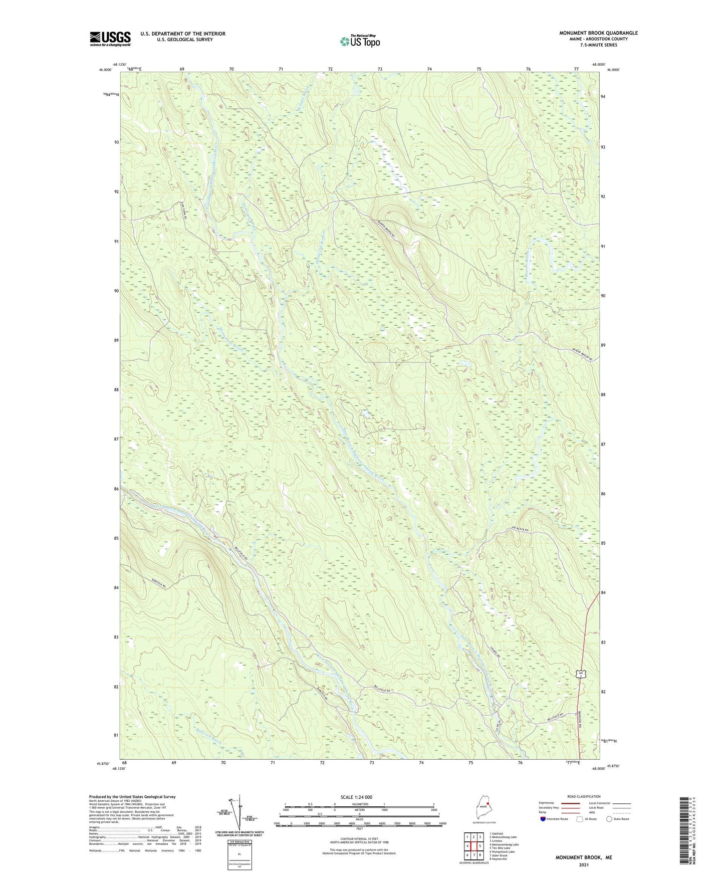
2024 topographic map quadrangle Monument Brook in the state of Maine. Scale: 1:24000. Based on the newly updated USGS 7.5' US Topo map series, this map is in the following counties: Aroostook. The map contains contour data, water features, and other items you are used to seeing on USGS maps, but also has updated roads and other features. This is the next generation of topographic maps. Printed on high-quality waterproof paper with UV fade-resistant inks.
Quads adjacent to this one:
West: Mattawamkeag Lake
Northwest: Oakfield
North: Meduxnekeag Lake
Northeast: Linneus
East: Ten Mile Lake
Southeast: Haynesville
South: Alder Brook
Southwest: Wytopitlock Lake
This map covers the same area as the classic USGS quad with code o45068h1.
Contains the following named places: Beaver Brook, City Camp Landing, Little Beaver Brook, Monument Brook, Nickerson Brook, Owl Pond Brook, Shingle Brook, Skitacook Stream, T3 R3 WELS, T4 R3 WELS