MyTopo
Potter Hill Maine US Topo Map
Couldn't load pickup availability
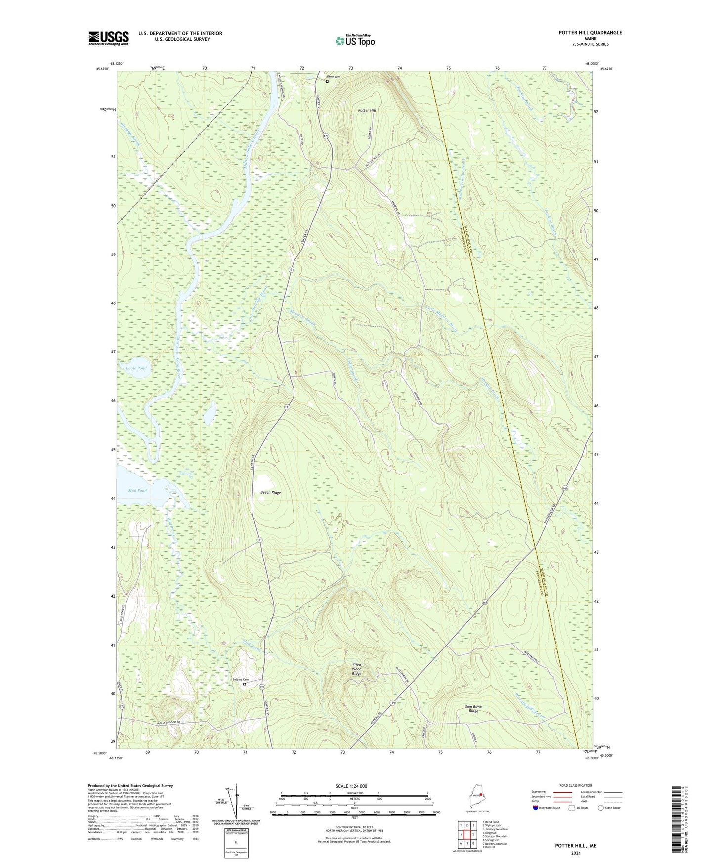
2024 topographic map quadrangle Potter Hill in the state of Maine. Scale: 1:24000. Based on the newly updated USGS 7.5' US Topo map series, this map is in the following counties: Penobscot, Washington. The map contains contour data, water features, and other items you are used to seeing on USGS maps, but also has updated roads and other features. This is the next generation of topographic maps. Printed on high-quality waterproof paper with UV fade-resistant inks.
Quads adjacent to this one:
West: Kingman
Northwest: Reed Pond
North: Wytopitlock
Northeast: Jimmey Mountain
East: Stetson Mountain
Southeast: Dill Hill
South: Bowers Mountain
Southwest: Springfield
This map covers the same area as the classic USGS quad with code o45068e1.
Contains the following named places: Beech Ridge, Belding Cemetery, Coffin Brook, Drew Cemetery, Eagle Pond, Ellen Wood Ridge, Little Meadow Brook, Meadow Brook, Mud Pond, Plantation of Drew, Plantation of Prentiss, Potter Hill, Prentiss Township T7 R3 NBPP, Unorganized Territory of Prentiss