MyTopo
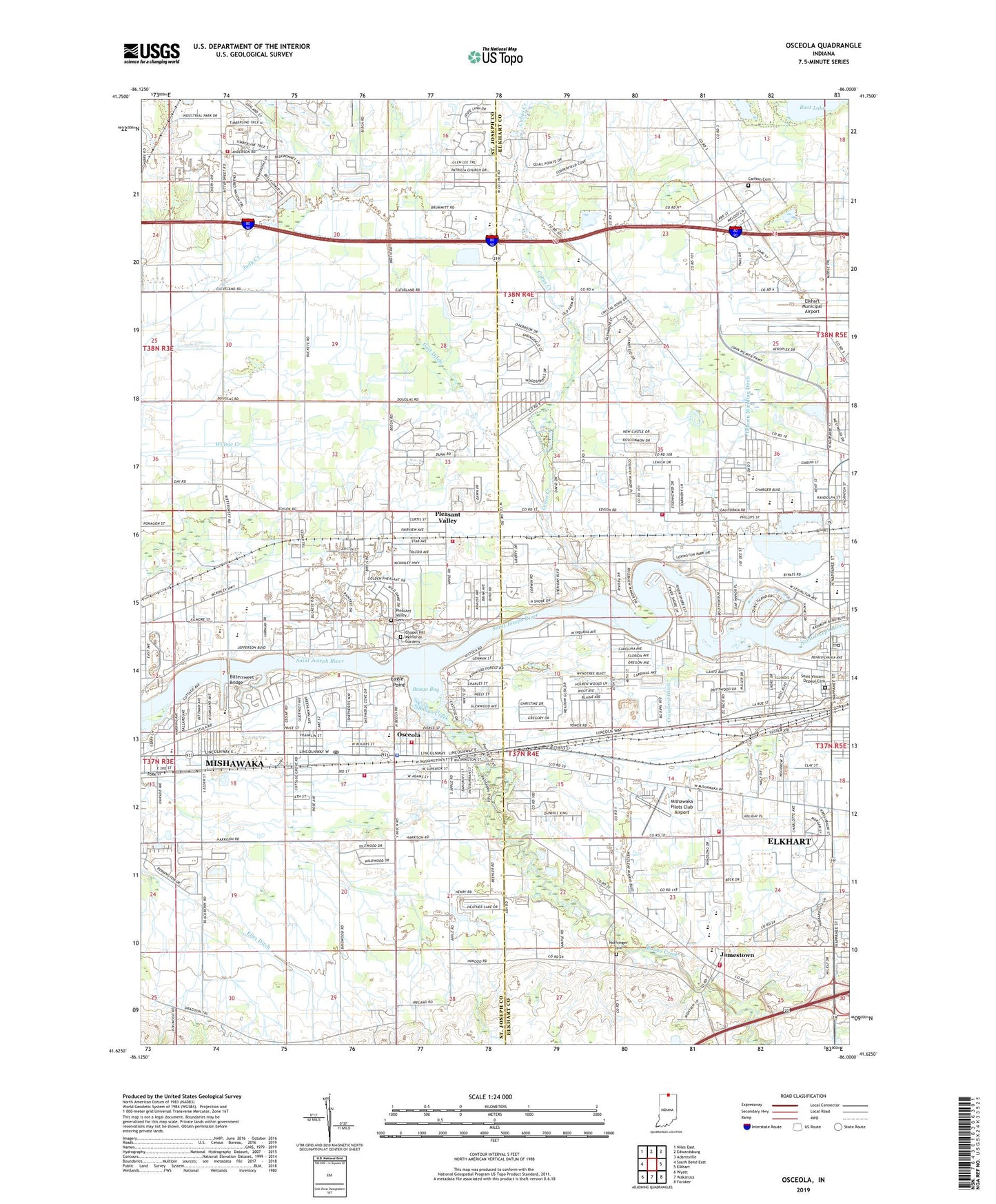
Osceola Indiana US Topo Map
Couldn't load pickup availability
2022 topographic map quadrangle Osceola in the state of Indiana. Scale: 1:24000. Based on the newly updated USGS 7.5' US Topo map series, this map is in the following counties: Elkhart, St. Joseph. The map contains contour data, water features, and other items you are used to seeing on USGS maps, but also has updated roads and other features. This is the next generation of topographic maps. Printed on high-quality waterproof paper with UV fade-resistant inks.
Quads adjacent to this one:
West: South Bend East
Northwest: Niles East
North: Edwardsburg
Northeast: Adamsville
East: Elkhart
Southeast: Foraker
South: Wakarusa
Southwest: Wyatt
This map covers the same area as the classic USGS quad with code o41086f1.
Contains the following named places: Baugo Bay, Baugo Creek, Baugo Township Fire Department Station 1, Baugo Township Fire Department Station 2, Betheny Church, Bittersweet Bridge, Boot Lake, Bresee Church, California Community Church, Cam-Air Airport, Carlton Cemetery, Chapel Hill Memorial Gardens, Clay Fire Territory Station 25, Cleveland Church, Cleveland Township Fire Department, Cleveland Township Fire Department South Station, Cobus Creek, Crawford Ditch, Eagle Point, Eller Ditch, Gast Ditch, Granger Service Area, Harley Holben Elementary School, Harmony Park, Jamestown, Mary L Daly Elementary School, Mishawaka Pilots Club Airport, Moran Elementary School, Noffsinger Cemetery, Osborn Manning Ditch, Osceola, Osceola Elementary School, Osceola Fire Department Station 1, Osceola Police Department, Osceola Post Office, Osceola Volunteer Fire Department Station 1, Osceola Volunteer Fire Department Station 2, Penn High School, Penn Township Fire Department Station 3, Penn Township Fire Training Facility, Pleasant Valley, Pleasant Valley Cemetery, Queen of Peace School, Robert R Young Memorial Yard, Saint Marks Church, Saint Vincent Depaul Cemetery, Salem Church, Schmucker Middle School, Town of Osceola, Township of Baugo, Township of Cleveland, Township of Harris, Twin Branch Elementary School, West Side Junior High School, ZIP Code: 46561


