MyTopo
Arlene Michigan US Topo Map
Couldn't load pickup availability
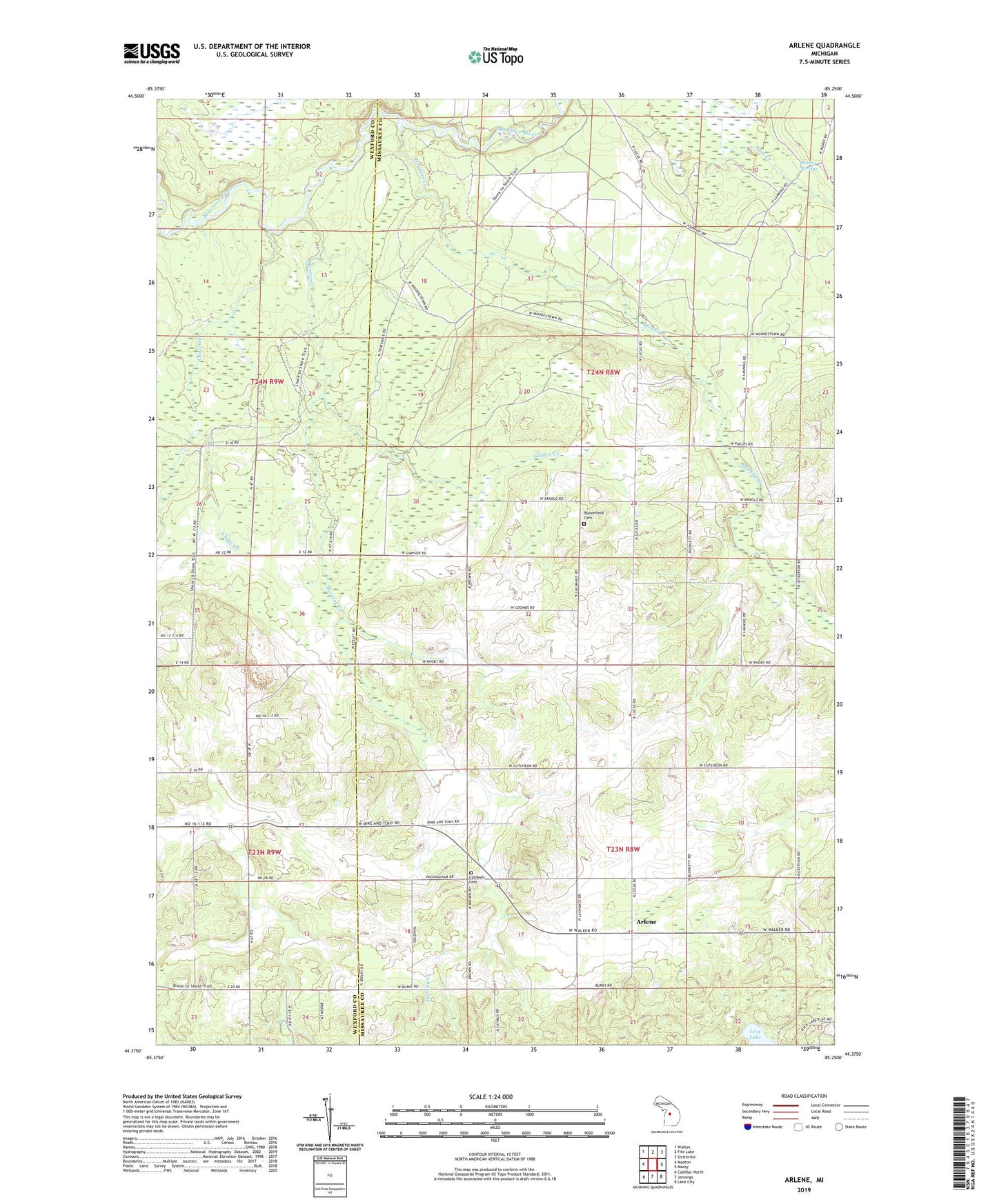
2023 topographic map quadrangle Arlene in the state of Michigan. Scale: 1:24000. Based on the newly updated USGS 7.5' US Topo map series, this map is in the following counties: Missaukee, Wexford. The map contains contour data, water features, and other items you are used to seeing on USGS maps, but also has updated roads and other features. This is the next generation of topographic maps. Printed on high-quality waterproof paper with UV fade-resistant inks.
Quads adjacent to this one:
West: Manton
Northwest: Walton
North: Fife Lake
Northeast: Smithville
East: Morey
Southeast: Lake City
South: Jennings
Southwest: Cadillac North
This map covers the same area as the classic USGS quad with code o44085d3.
Contains the following named places: Arlene, Arlene Post Office, Bloomfield Cemetery, Boiling Springs, Caldwell Cemetery, Caldwell Church, Caldwell Township Hall, Chase Creek, Chase Creek Campground, Doyle School, Golden Creek, Hopkins Creek, Hopkins Creek Trail Campground, Lost Lake, Morrisy Creek, Pleasant Hill School, Rollins Church, Rollins School, Shippy School, Township of Bloomfield, Township of Caldwell, Whip-Poor-Will Landing Strip