MyTopo
Atlanta SE Michigan US Topo Map
Couldn't load pickup availability
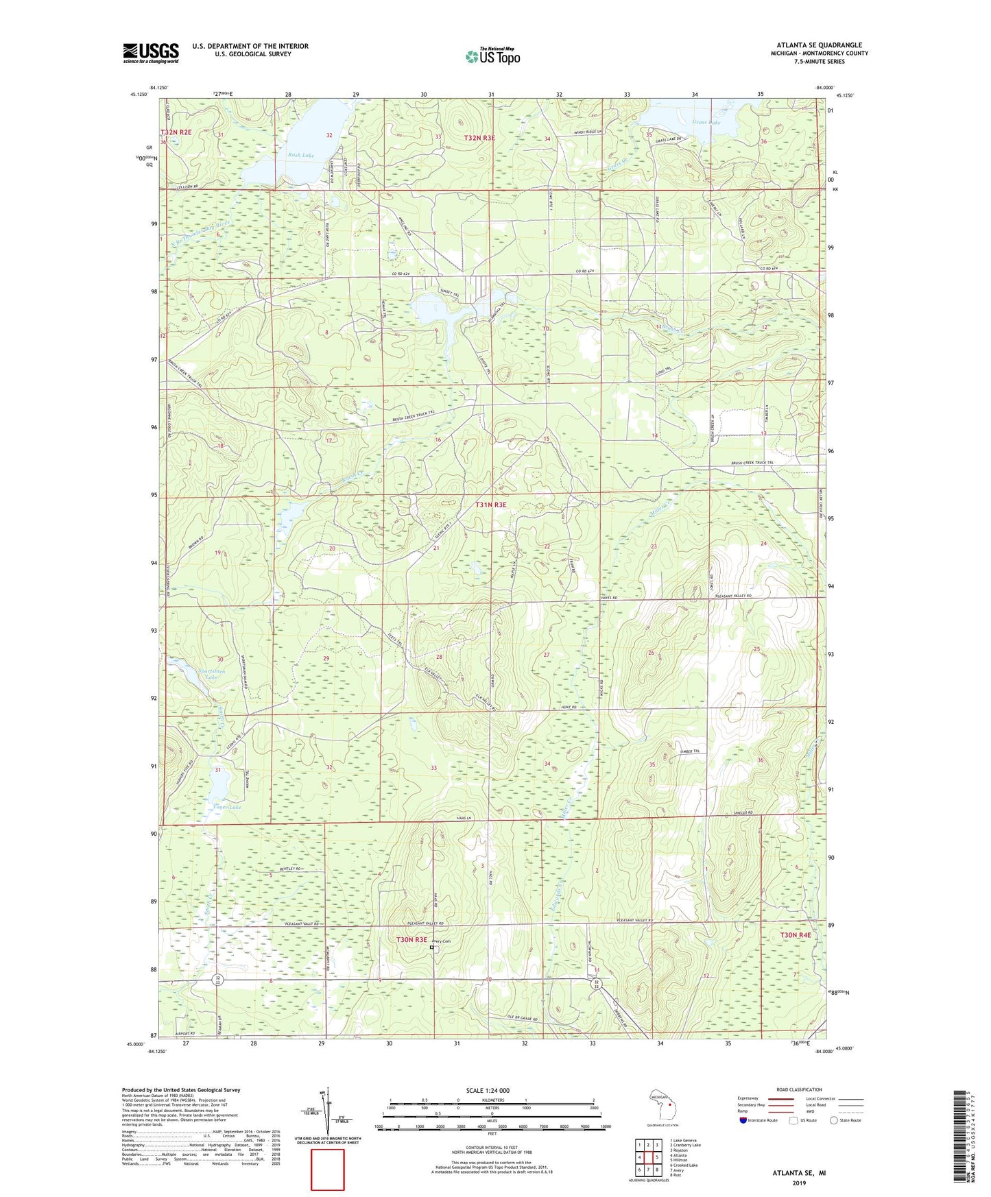
2023 topographic map quadrangle Atlanta SE in the state of Michigan. Scale: 1:24000. Based on the newly updated USGS 7.5' US Topo map series, this map is in the following counties: Montmorency. The map contains contour data, water features, and other items you are used to seeing on USGS maps, but also has updated roads and other features. This is the next generation of topographic maps. Printed on high-quality waterproof paper with UV fade-resistant inks.
Quads adjacent to this one:
West: Atlanta
Northwest: Lake Geneva
North: Cranberry Lake
Northeast: Royston
East: Hillman
Southeast: Rust
South: Avery
Southwest: Crooked Lake
This map covers the same area as the classic USGS quad with code o45084a1.
Contains the following named places: Atlanta Lookout Tower, Avery Cemetery, Edwards School, Lake Hiawatha, Little Brush Lake, Pleasant Valley Church, Pleasant Valley Free Methodist Church, Rush Lake, Smith Creek, Sportsmen Lake, Township of Hillman, Voyer Lake