MyTopo
Comstock Hills Michigan US Topo Map
Couldn't load pickup availability
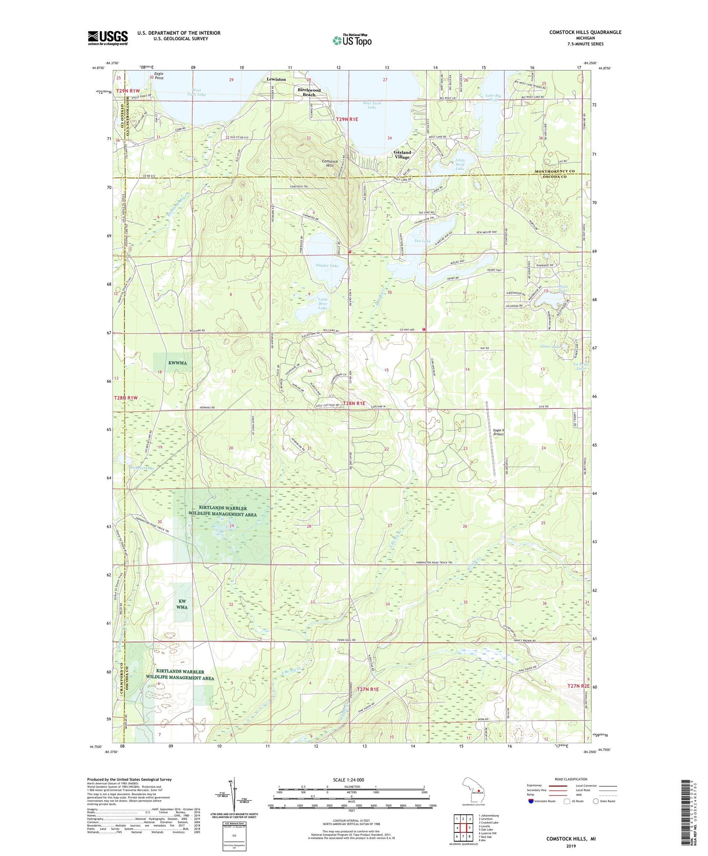
2023 topographic map quadrangle Comstock Hills in the state of Michigan. Scale: 1:24000. Based on the newly updated USGS 7.5' US Topo map series, this map is in the following counties: Oscoda, Montmorency, Crawford, Otsego. The map contains contour data, water features, and other items you are used to seeing on USGS maps, but also has updated roads and other features. This is the next generation of topographic maps. Printed on high-quality waterproof paper with UV fade-resistant inks.
Quads adjacent to this one:
West: Lovells
Northwest: Johannesburg
North: Lewiston
Northeast: Crooked Lake
East: Oak Lake
Southeast: Mio
South: Red Oak
Southwest: Luzerne NW
This map covers the same area as the classic USGS quad with code o44084g3.
Contains the following named places: Birchwood Beach, Birdhaven Resort, Comstock Fire Tower, Comstock Hills, Comstock Tobogan Slide, Cowhand Ranch, Eagle II Airport, Eagle Point, East Twin Lake, Elmer Lake, Garland Fountains Golf Course, Garland Monarch Golf Course, Garland Reflections Golf Course, Garland Swampfire Golf Course, Garland Village, Gassel Lodge, Greenwood Township Volunteer Fire Department Station 1, Greenwood Township Volunteer Fire Department Station 2, Homestead Hunting Club, Indian Village Boys Camp, Kirtlands Warbler Wildlife Management Area, La Belle Lake, Lake Big Wolf, Lake Dollar, Lewiston Shady Acres Campground, Little Bear Lake, Little Wolf Lake, Little Wolf Lake State Forest Campground, Moon Lake, Murrays Cabins, Organs Log Cabins, Pickerel Lake, Snyder Lake, Tea Lake, Township of Greenwood, Trowbridges Resort, Werners Hotel, ZIP Code: 49756


