MyTopo
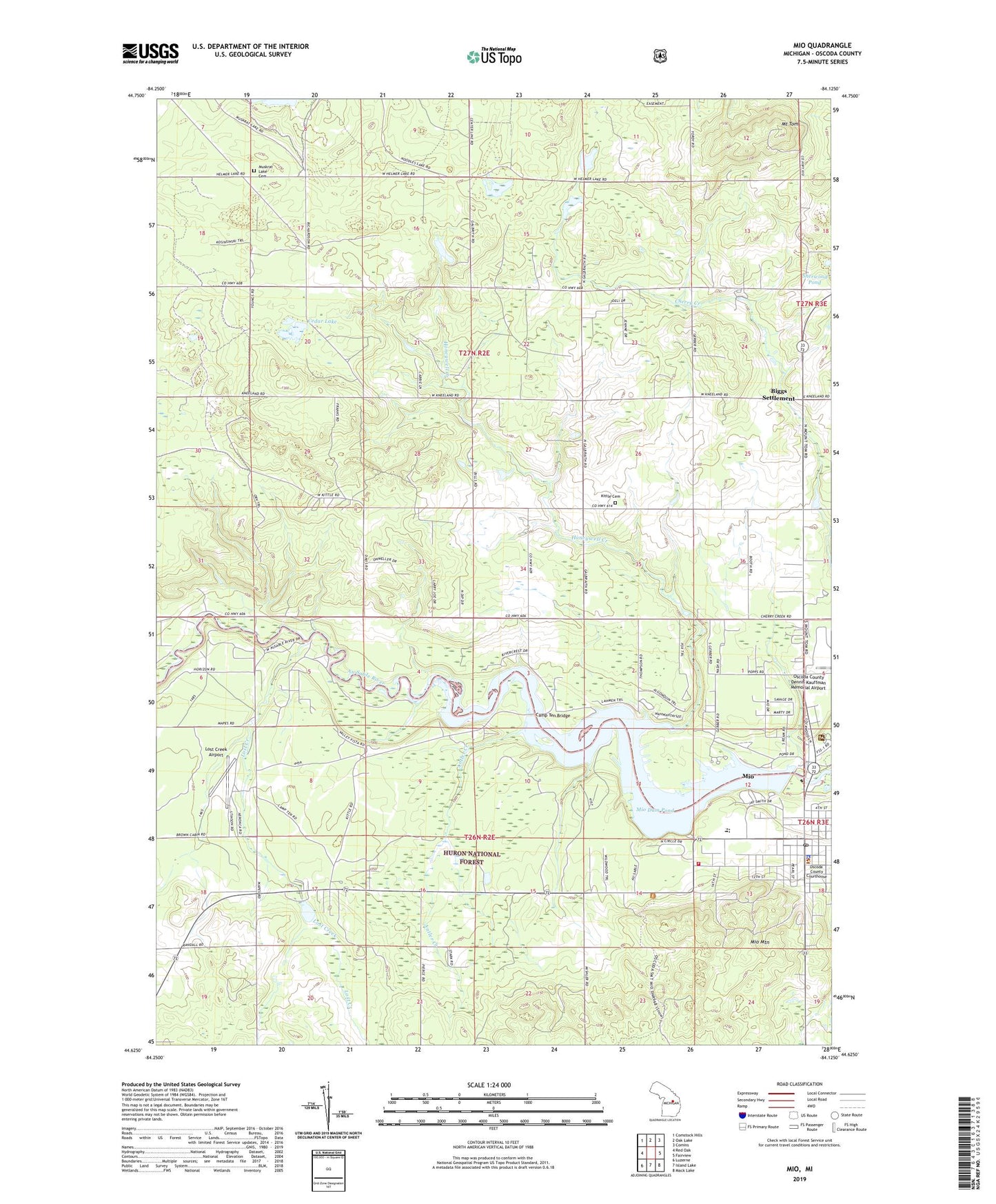
Mio Michigan US Topo Map
Couldn't load pickup availability
Also explore the Mio Forest Service Topo of this same quad for updated USFS data
2023 topographic map quadrangle Mio in the state of Michigan. Scale: 1:24000. Based on the newly updated USGS 7.5' US Topo map series, this map is in the following counties: Oscoda. The map contains contour data, water features, and other items you are used to seeing on USGS maps, but also has updated roads and other features. This is the next generation of topographic maps. Printed on high-quality waterproof paper with UV fade-resistant inks.
Quads adjacent to this one:
West: Red Oak
Northwest: Comstock Hills
North: Oak Lake
Northeast: Comins
East: Fairview
Southeast: Mack Lake
South: Island Lake
Southwest: Luzerne
This map covers the same area as the classic USGS quad with code o44084f2.
Contains the following named places: Antler Creek, Biggs Post Office, Biggs Settlement, Camp Ten Bridge, Cedar Lake, Church of Christ, Conservative Mennonite Church, Elmer Township Hall, Faith Baptist Church, Grace Apostolic Church, Honeywell Creek, Kingdom Hall of Jehovah's Witnesses, Kittle Cemetery, Lost Creek, Lost Creek Airport, Mentor Township Hall, Michigan Department of Natural Resources Mio Field Office, Mio, Mio AuSable School, Mio Baptist Church, Mio Census Designated Place, Mio Church of God, Mio Dam Pond, Mio Hydroelectric Plant Historical Marker, Mio Mountain, Mio Mountain Ski Area, Mio Pine Acres Campground, Mio Pond State Forest Campground and Group Camp, Mio Post Office, Mio Seventh Day Adventist Church, Mio United Methodist Church, Mount Tom, Muskrat Lake Cemetery, New Hope Assembly of God Church, Oscoda County, Oscoda County Ambulance Service, Oscoda County Courthouse, Oscoda County Courthouse Historical Marker, Oscoda County Dennis Kauffman Memorial Airport, Oscoda County Historical Marker, Oscoda County Library, Oscoda County Park, Oscoda County Sheriff's Office, Ryno Post Office, Saint Bartholomew Episcopal Church, Saint Johns Evangelical Lutheran Church, Saint Mary's Catholic Church, Sherwood Corners, Tri - Township Fire Department, United States Forest Service Mio Ranger District, Walleye Rearway Pond, Wayside Recreation Site


