MyTopo
Gourley Michigan US Topo Map
Couldn't load pickup availability
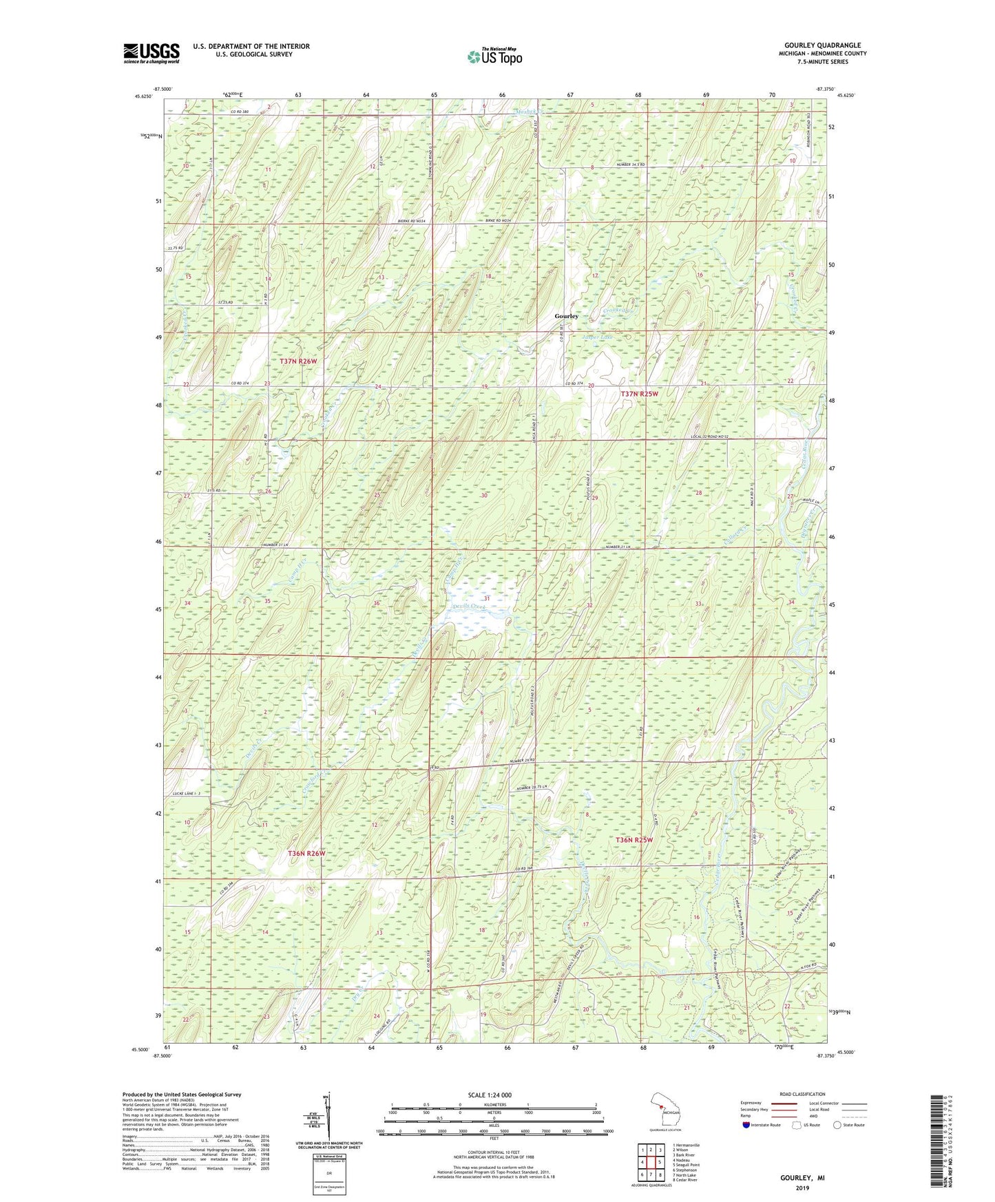
2023 topographic map quadrangle Gourley in the state of Michigan. Scale: 1:24000. Based on the newly updated USGS 7.5' US Topo map series, this map is in the following counties: Menominee. The map contains contour data, water features, and other items you are used to seeing on USGS maps, but also has updated roads and other features. This is the next generation of topographic maps. Printed on high-quality waterproof paper with UV fade-resistant inks.
Quads adjacent to this one:
West: Nadeau
Northwest: Hermansville
North: Wilson
Northeast: Bark River
East: Seagull Point
Southeast: Cedar River
South: North Lake
Southwest: Stephenson
This map covers the same area as the classic USGS quad with code o45087e4.
Contains the following named places: Brill Brook, Camp H Creek, Collard Creek, Crawford Creek, Degraves Creek, Devils Creek, Gourley, Gourley Post Office, Jasper Lake, Mashek Creek, Township of Gourley