MyTopo
Paynesville Michigan US Topo Map
Couldn't load pickup availability
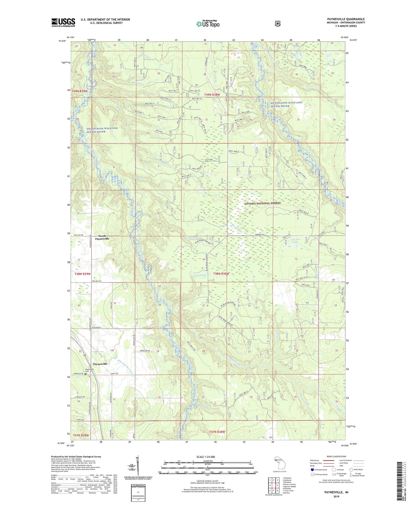
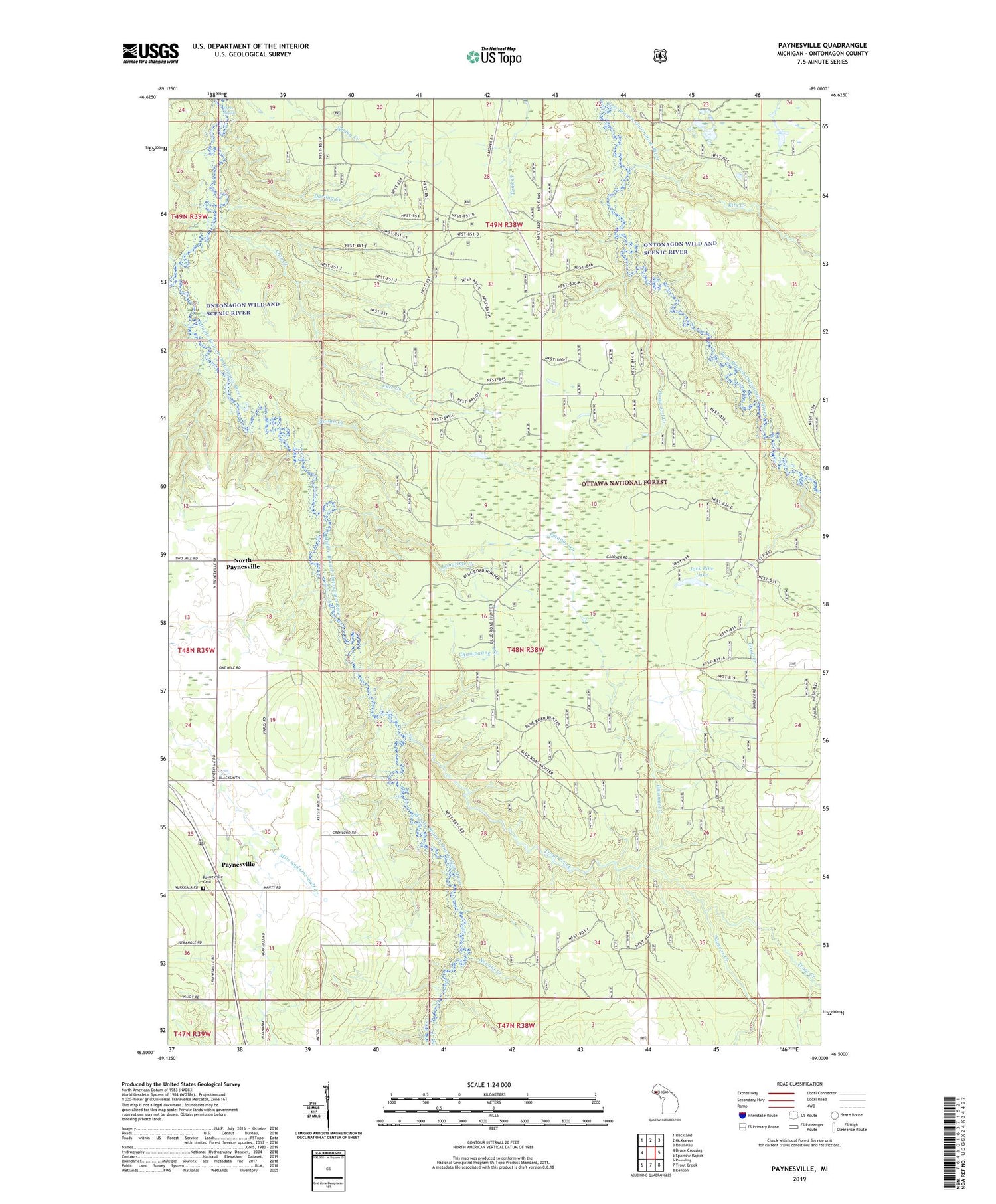
2019 topographic map quadrangle Paynesville in the state of Michigan. Scale: 1:24000. Based on the newly updated USGS 7.5' US Topo map series, this map is in the following counties: Ontonagon. The map contains contour data, water features, and other items you are used to seeing on USGS maps, but also has updated roads and other features. This is the next generation of topographic maps. Printed on high-quality waterproof paper with UV fade-resistant inks.
Quads adjacent to this one:
West: Bruce Crossing
Northwest: Rockland
North: McKeever
Northeast: Rousseau
East: Sparrow Rapids
Southeast: Kenton
South: Trout Creek
Southwest: Paulding
Contains the following named places: Champagne Creek, Cute Creek, Darling Creek, Dogwood Creek, Emanuel Creek, First Apostolic Lutheran Church, Good Creek, Jack Pine Lake, Kits Creek, Lathrop Creek, Longtime Creek, Nevala Creek, North Paynesville, Our Saviour Lutheran Church, Paynesville, Paynesville Cemetery, Paynesville Post Office, Payseor Creek, Slough Creek, Three Rapids, Trout Creek