MyTopo
Stalwart Michigan US Topo Map
Couldn't load pickup availability
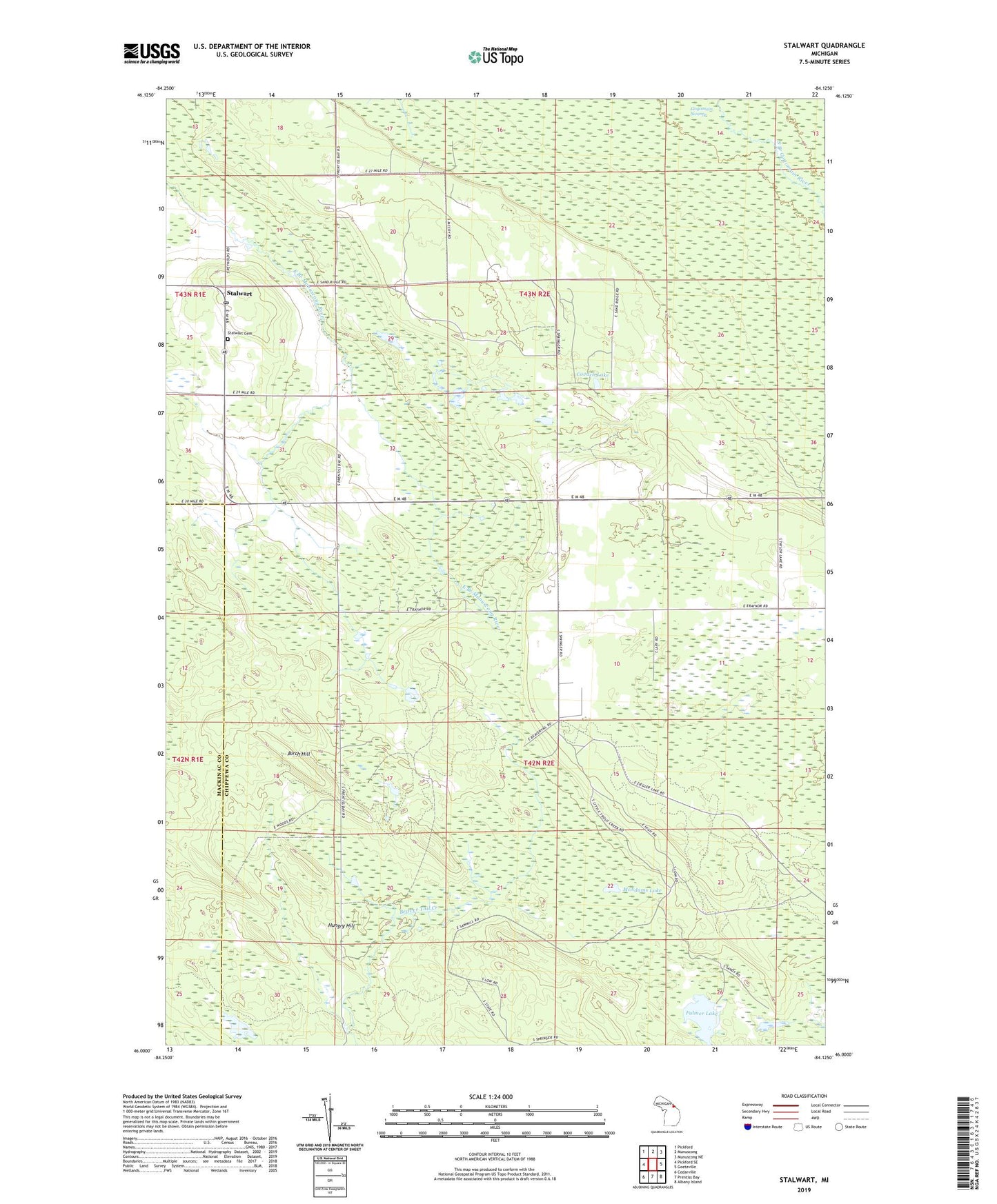
2023 topographic map quadrangle Stalwart in the state of Michigan. Scale: 1:24000. Based on the newly updated USGS 7.5' US Topo map series, this map is in the following counties: Chippewa, Mackinac. The map contains contour data, water features, and other items you are used to seeing on USGS maps, but also has updated roads and other features. This is the next generation of topographic maps. Printed on high-quality waterproof paper with UV fade-resistant inks.
Quads adjacent to this one:
West: Pickford SE
Northwest: Pickford
North: Munuscong
Northeast: Munuscong NE
East: Goetzville
Southeast: Albany Island
South: Prentiss Bay
Southwest: Cedarville
This map covers the same area as the classic USGS quad with code o46084a2.
Contains the following named places: Birch Hill, Covach Lake, Fulmer Lake, Gogomain Swamp, Hungry Hill, McAdams Lake, Sam Taylor Lake, Stalwart, Stalwart Cemetery, Stalwart Fair Ground, Stalwart Post Office, Stalwart Presbyterian Church, Township of Raber