MyTopo
Bear Island Minnesota US Topo Map
Couldn't load pickup availability
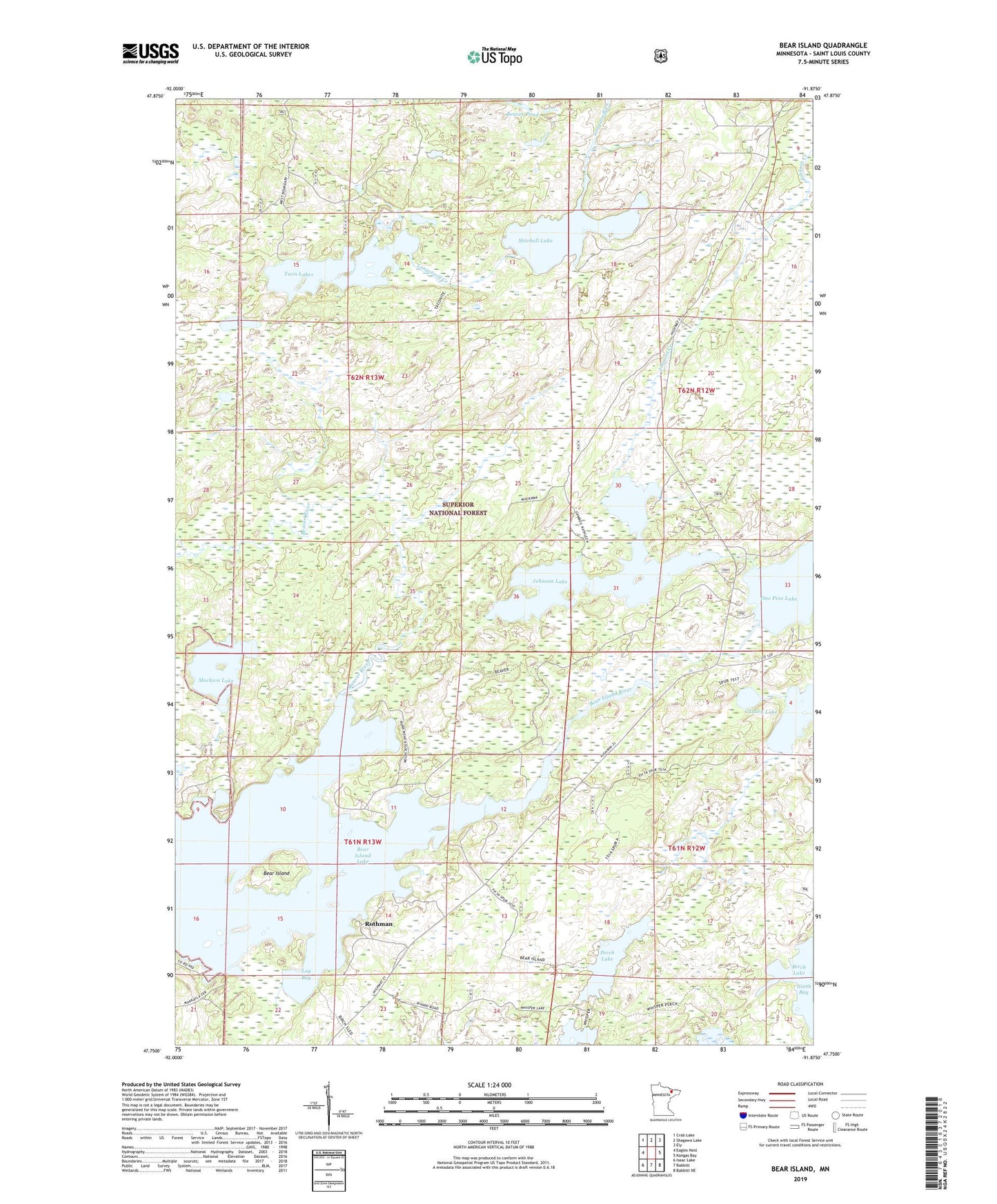
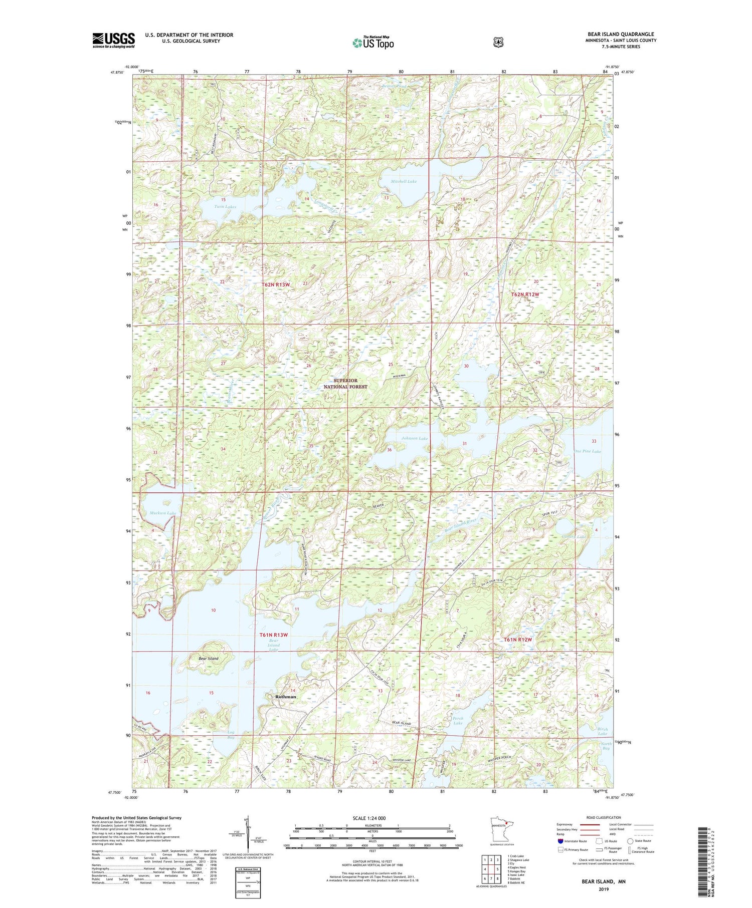
2019 topographic map quadrangle Bear Island in the state of Minnesota. Scale: 1:24000. Based on the newly updated USGS 7.5' US Topo map series, this map is in the following counties: St. Louis. The map contains contour data, water features, and other items you are used to seeing on USGS maps, but also has updated roads and other features. This is the next generation of topographic maps. Printed on high-quality waterproof paper with UV fade-resistant inks.
Quads adjacent to this one:
West: Eagles Nest
Northwest: Crab Lake
North: Shagawa Lake
Northeast: Ely
East: Kangas Bay
Southeast: Babbitt NE
South: Babbitt
Southwest: Isaac Lake
Contains the following named places: Bear Island, Bear Island Dam, Bear Island Lake, Bear Island Reservoir, Beaver Pond, Beaver River, Blueberry Lake, Canary Lake, Johnson Creek, Johnson Lake, Log Bay, Mitchell Lake, Muckwa Lake, One Pine Lake, Perch Lake, Rothman, Twin Lakes, Unorganized Territory of Birch Lake