MyTopo
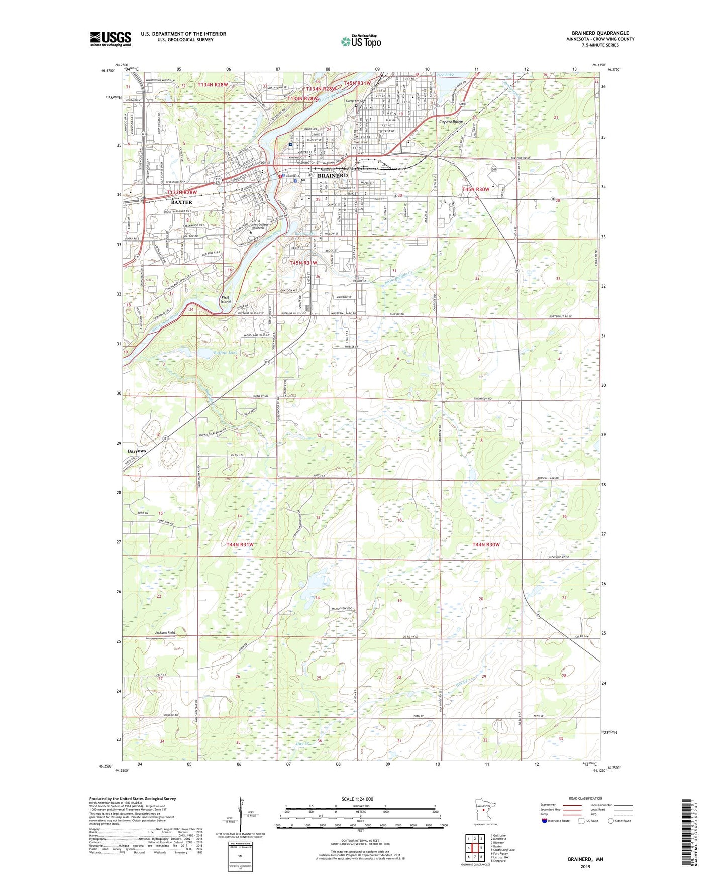
Brainerd Minnesota US Topo Map
Couldn't load pickup availability
2022 topographic map quadrangle Brainerd in the state of Minnesota. Scale: 1:24000. Based on the newly updated USGS 7.5' US Topo map series, this map is in the following counties: Crow Wing. The map contains contour data, water features, and other items you are used to seeing on USGS maps, but also has updated roads and other features. This is the next generation of topographic maps. Printed on high-quality waterproof paper with UV fade-resistant inks.
Quads adjacent to this one:
West: Baxter
Northwest: Gull Lake
North: Merrifield
Northeast: Riverton
East: South Long Lake
Southeast: Shephard
South: Lastrup NW
Southwest: Fort Ripley
This map covers the same area as the classic USGS quad with code o46094c2.
Contains the following named places: Adamson Field, Assembly of God Church, Bane Park, Bethany Good Samaritan Village, Bethlehem Christian Fellowship, Bethlehem Lutheran Church, Boom Lake, Boom Park, Brainerd, Brainerd City Hall, Brainerd Fire Department, Brainerd High School, Brainerd Mall, Brainerd Medical Center, Brainerd Police Department, Brainerd Post Office, Brainerd Public Library, Brainerd Regional Human Services Center, Buffalo Creek, Buffalo Hills Park, Buffalo Lake, Central Lakes College - Brainerd, Church of Christ, City of Brainerd, Community Covenant Church, Cooks State Wildlife Management Area, Crow Wing County Courthouse, Crow Wing County Fairgrounds, Crow Wing County Sheriff's Office, Cuyuna Range, East Gate Mobile Home Park, Edison School, Essentia Health Saint Joseph's Medical Center, Evergreen Cemetery, Faith Baptist Church, First Baptist Church, First Church of Christ, First Congregational Church, First Island, First Lutheran Church, First Presbyterian Church, Franklin Junior High School, Fun and Friends Elementary School, Garfield Elementary School, Grace Lutheran Parish, Gregory Park, Harrison Elementary School, Heartland Alliance Church, Jackson Field, Jaycees Park, Kingdom Hall of Jehovah's Witnesses, KLIZ-AM (Brainerd), KLIZ-FM (Brainerd), KVBR-AM (Brainerd), Laestadian Lutheran Church, Lake Area Children's Museum, Lake Area Urology Center, Lake Region Christian School, Law Enforcement Center, Lincoln Education Center, Little Buffalo Creek, Lowell Elementary School, Lum Park, Lum Park Campground, Meadow View Manor, Mill Park, Minnesota Fishing Hall of Fame, Minnesota State Patrol District 2800, Mississippi Horizons School, North Memorial Ambulance Brainerd, Northern Orthopedics, Northland Arboretum, Oak Street Christian School, O'Brien Park, Park United Methodist Church, Paul Bunyan Amusement Center, Paul Bunyan Educational Cooperative, Pine Meadows Golf Club, Prince of Peace Lutheran Church, Rapids River Lodge and Waterpark, Riverside Elementary School, Saint Andrews Catholic Church, Saint Andrews School, Saint Francis Catholic Church, Saint Francis Catholic School, Saint Paul's Episcopal Church, Seventh Day Adventist Church, State of Minnesota, Temple Baptist Church, The Church of Jesus Christ of Latter-Day Saints, Township of Crow Wing, Township of Long Lake, Trinity Lutheran Church, Well Care Clinic, Westgate Mall, Westwood Mobile Home Park, Whittier School, Woodhaven Center, Woodland Good Samaritan Village, Zion Lutheran Church, ZIP Code: 56401


