MyTopo
Shephard Minnesota US Topo Map
Couldn't load pickup availability
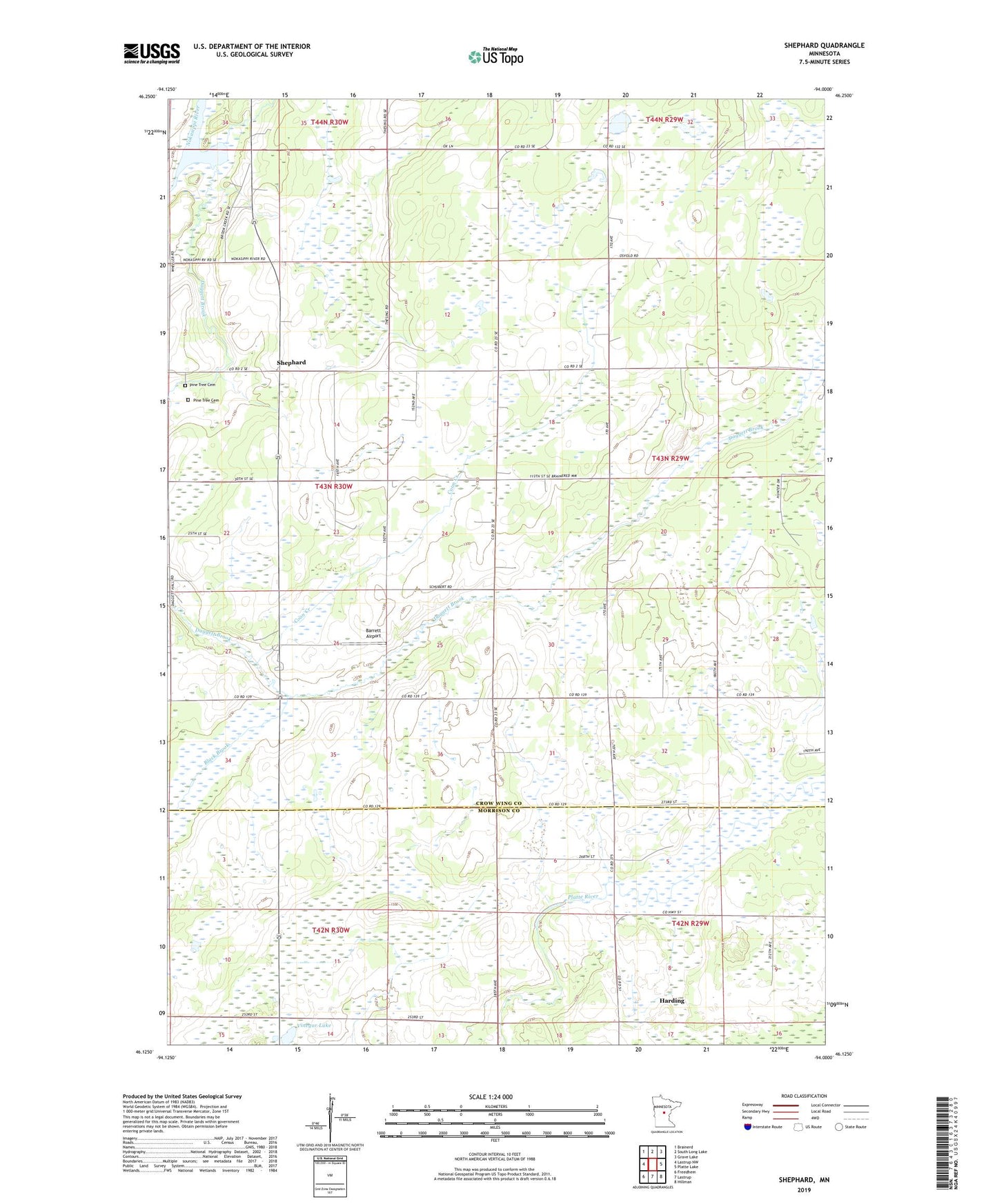
2022 topographic map quadrangle Shephard in the state of Minnesota. Scale: 1:24000. Based on the newly updated USGS 7.5' US Topo map series, this map is in the following counties: Crow Wing, Morrison. The map contains contour data, water features, and other items you are used to seeing on USGS maps, but also has updated roads and other features. This is the next generation of topographic maps. Printed on high-quality waterproof paper with UV fade-resistant inks.
Quads adjacent to this one:
West: Lastrup NW
Northwest: Brainerd
North: South Long Lake
Northeast: Grave Lake
East: Platte Lake
Southeast: Hillman
South: Lastrup
Southwest: Freedhem
This map covers the same area as the classic USGS quad with code o46094b1.
Contains the following named places: Barrett Airport, Black Brook, Coon Creek, Daggett Brook, Daggett Brook Town Hall, District Number 149 School, District Number 18 School, District Number 32 School, Pine Tree Cemetery, Segler Dairy, Shephard, Shephard Post Office, Vinegar Lake, Wittiker State Wildlife Management Area