MyTopo
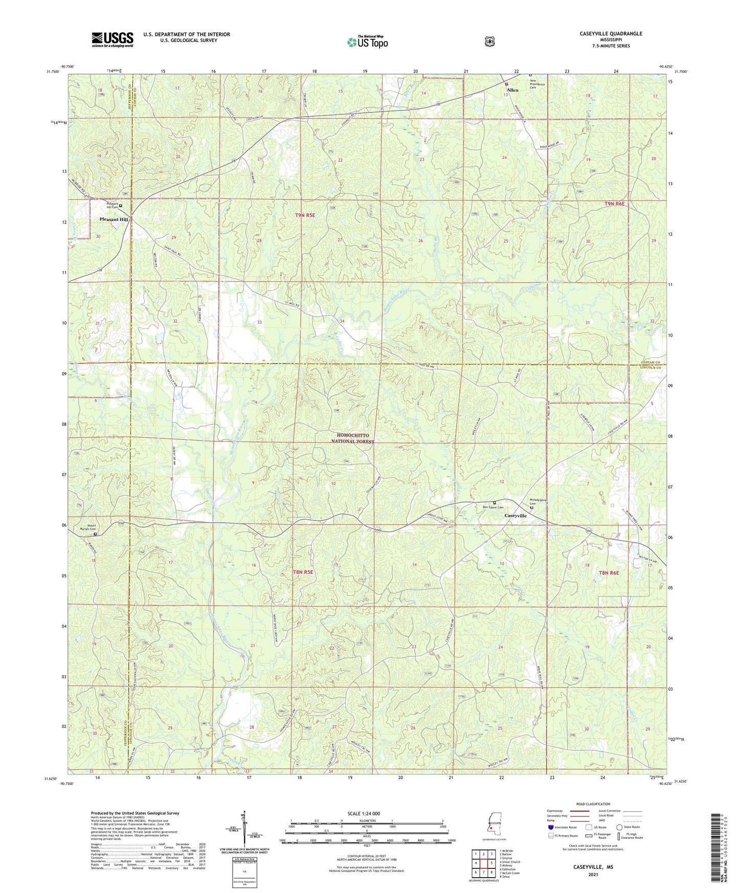
Caseyville Mississippi US Topo Map
Couldn't load pickup availability
Also explore the Caseyville Forest Service Topo of this same quad for updated USFS data
2024 topographic map quadrangle Caseyville in the state of Mississippi. Scale: 1:24000. Based on the newly updated USGS 7.5' US Topo map series, this map is in the following counties: Lincoln, Copiah, Jefferson. The map contains contour data, water features, and other items you are used to seeing on USGS maps, but also has updated roads and other features. This is the next generation of topographic maps. Printed on high-quality waterproof paper with UV fade-resistant inks.
Quads adjacent to this one:
West: Union Church
Northwest: McBride
North: Barlow
Northeast: Smyrna
East: Midway
Southeast: Zetus
South: McCall Creek
Southwest: Eddiceton
This map covers the same area as the classic USGS quad with code o31090f6.
Contains the following named places: Allen, Allen Community Volunteer Fire Department, Ben Salem Cemetery, Bensalem Church, Bethel Church, Bobs Branch, Case Mill, Caseyville, Cedar Creek, Grange Hall School, Greater Galilee Church, Greater Zion Chapel, Hurricane Creek, Lick Creek, Mount Carmel Church, Mount Moriah Cemetery, New Providence Cemetery, Philadelphia Baptist Church, Philadelphia Cemetery, Pleasant Hill, Pleasant Hill Baptist Church, Pleasant Hill Cemetery, Pleasant Hill Lookout Tower, Saint Paul Church, Slayton Creek