MyTopo
Jonathan Mississippi US Topo Map
Couldn't load pickup availability
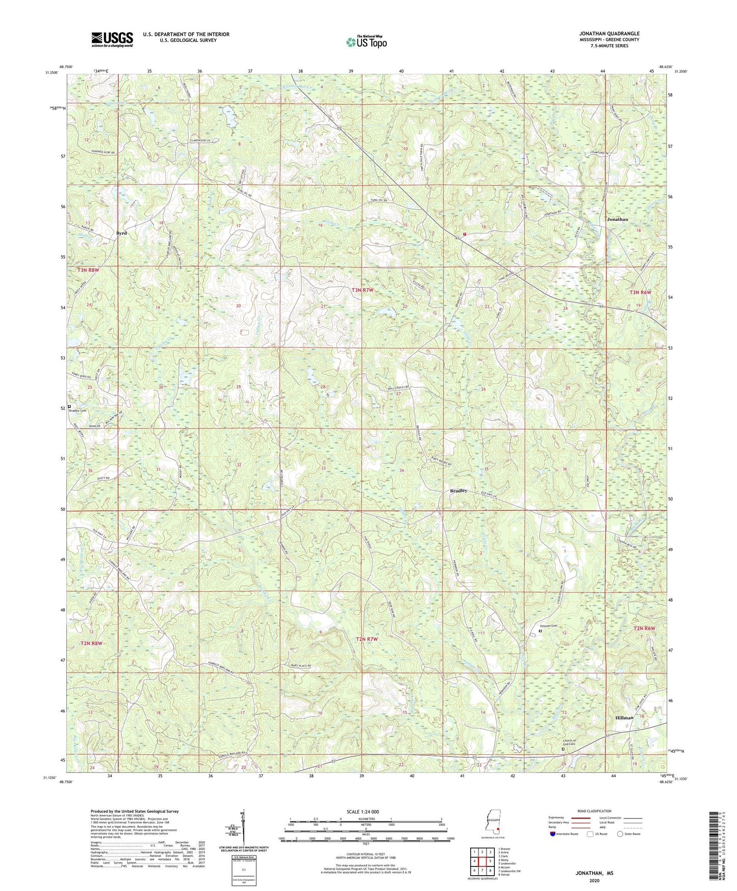
2024 topographic map quadrangle Jonathan in the state of Mississippi. Scale: 1:24000. Based on the newly updated USGS 7.5' US Topo map series, this map is in the following counties: Greene. The map contains contour data, water features, and other items you are used to seeing on USGS maps, but also has updated roads and other features. This is the next generation of topographic maps. Printed on high-quality waterproof paper with UV fade-resistant inks.
Quads adjacent to this one:
West: Neely
Northwest: Brewer
North: Avera
Northeast: Clark
East: Leakesville
Southeast: Vernal
South: Leakesville SW
Southwest: McLain
This map covers the same area as the classic USGS quad with code o31088b6.
Contains the following named places: Bradley, Bradley Cemetery, Byrd, Cedar Grove Baptist Church, Church of Jesus Christ, Corinth Church, Deep Branch, Green Lookout Tower, Greene County, Hillman, Hillman Cemetery, Indian Creek, Jonathan, Jonathan Volunteer Fire Department, Kittrell Mill Creek, Little Creek, Long Branch, Mason Creek, Neely Volunteer Fire Department, Supervisor District 5, Wilson, Wolf Branch, ZIP Code: 39461