MyTopo
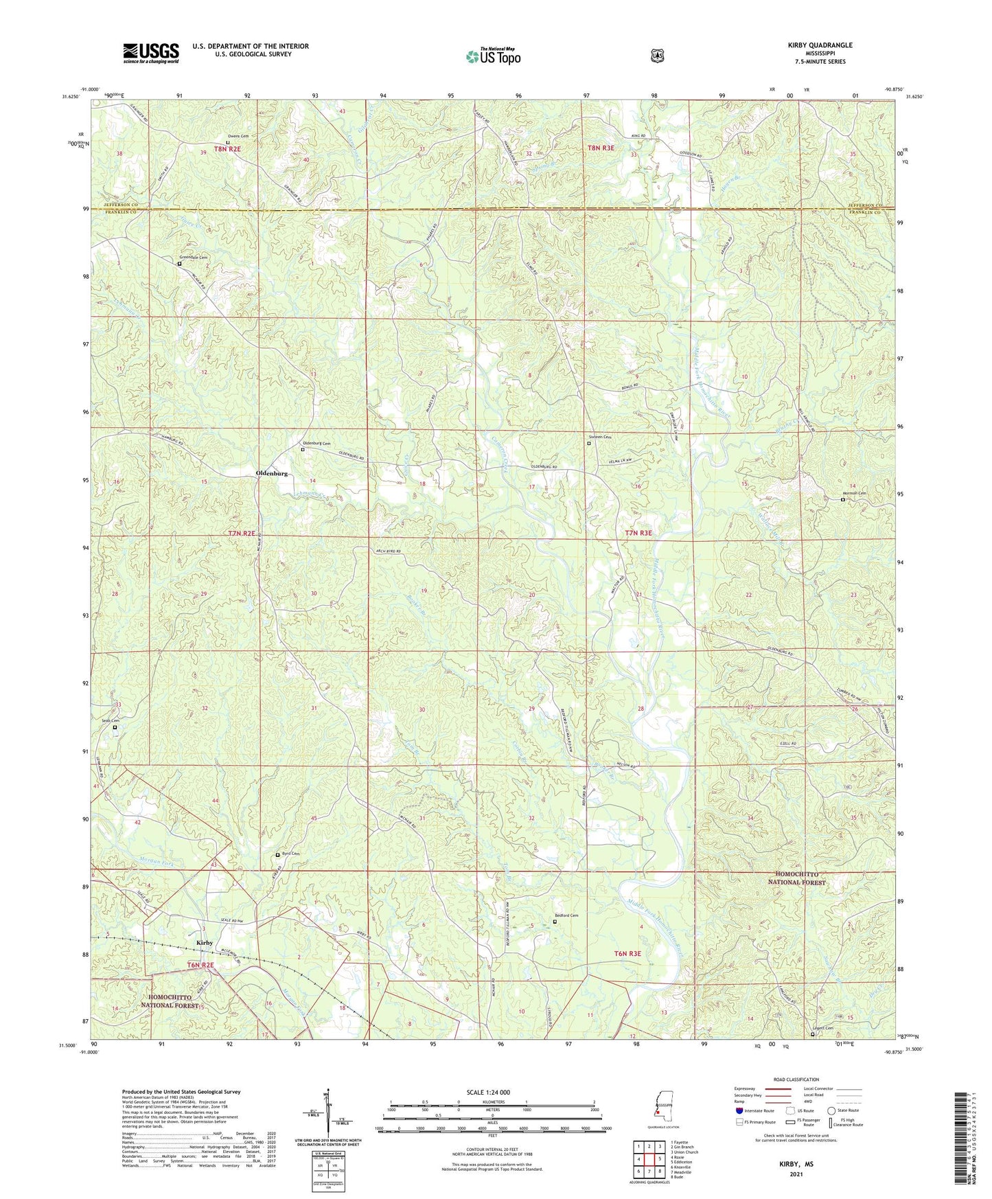
Kirby Mississippi US Topo Map
Couldn't load pickup availability
Also explore the Kirby Forest Service Topo of this same quad for updated USFS data
2024 topographic map quadrangle Kirby in the state of Mississippi. Scale: 1:24000. Based on the newly updated USGS 7.5' US Topo map series, this map is in the following counties: Franklin, Jefferson. The map contains contour data, water features, and other items you are used to seeing on USGS maps, but also has updated roads and other features. This is the next generation of topographic maps. Printed on high-quality waterproof paper with UV fade-resistant inks.
Quads adjacent to this one:
West: Roxie
Northwest: Fayette
North: Gin Branch
Northeast: Union Church
East: Eddiceton
Southeast: Bude
South: Meadville
Southwest: Knoxville
This map covers the same area as the classic USGS quad with code o31090e8.
Contains the following named places: Bedford Cemetery, Bonus, Booker Branch, Brushy Creek, Byrd Cemetery, Byrd Oil Field, Cameron Creek, Corban Branch Oil Field, Corbin Branch, East Oldenburg Oil Field, Elmo, Elmo Church, Gilchrist Creek, Greendale Cemetery, Greendale Church, Guice Creek, Hagen Branch, Higdon Church, Hilton Zumbro Lake Dam, Josiah Hester Lake Dam, Kirby, Legett Cemetery, Lehmann Creek, Malcolm, Middle Fork Oil Field, Moore Branch, Morgan Fork Oil Field, Mormon Cemetery, Mount Olive Church, Mount Pleasant Church, Oldenburg, Oldenburg Cemetery, Oldenburg Church, Owens Cemetery, Pretty Creek, Saint James Church, Saint Paul Church, Sawhaw Branch, Seab Cemetery, Sixteen Cemetery, South Tom Branch Oil Field, Spring Branch, Supervisor District 2, Tom Branch, Tom Branch Oil Field, Wallace Mill Branch