MyTopo
Poplar Creek Mississippi US Topo Map
Couldn't load pickup availability
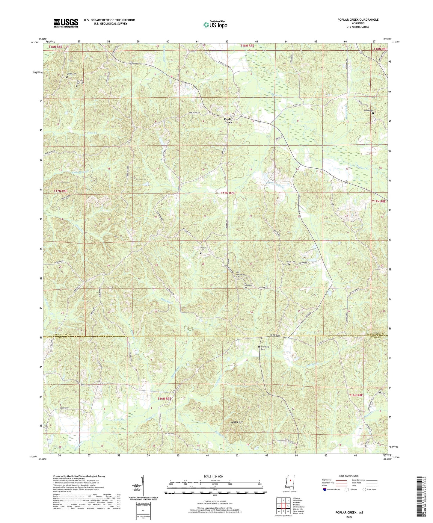
2024 topographic map quadrangle Poplar Creek in the state of Mississippi. Scale: 1:24000. Based on the newly updated USGS 7.5' US Topo map series, this map is in the following counties: Montgomery, Attala. The map contains contour data, water features, and other items you are used to seeing on USGS maps, but also has updated roads and other features. This is the next generation of topographic maps. Printed on high-quality waterproof paper with UV fade-resistant inks.
Quads adjacent to this one:
West: Vaiden
Northwest: Winona
North: Kilmichael
Northeast: Stewart
East: French Camp
Southeast: Ethel North
South: Kosciusko NE
Southwest: Hesterville
This map covers the same area as the classic USGS quad with code o33089c5.
Contains the following named places: Adams Cemetery, Arnold Mountain, Bagasha Creek, Bethany Church, Bethel Church, Bethsaida Church, Briscoes Mill, Cross Branch, Friendship, Friendship Cemetery, Friendship Church, Friendship School, Goodin Cemetery, Hebron Church, Horsepen Branch, Joe Walker Cemetery, Little Poplar Creek, North Center, North Center School, Old Friendship Cemetery, Old Pine Bluff Cemetery, Panther Creek, Poplar Creek, Poplar Creek Volunteer Fire Department, Poplar Springs Union Church, Shiloh Cemetery, Simpsons Shop, Spring Hill Number 2 Church, Supervisor District 5, Thrailkill, Zilpha Post Office