MyTopo
Progress Mississippi US Topo Map
Couldn't load pickup availability
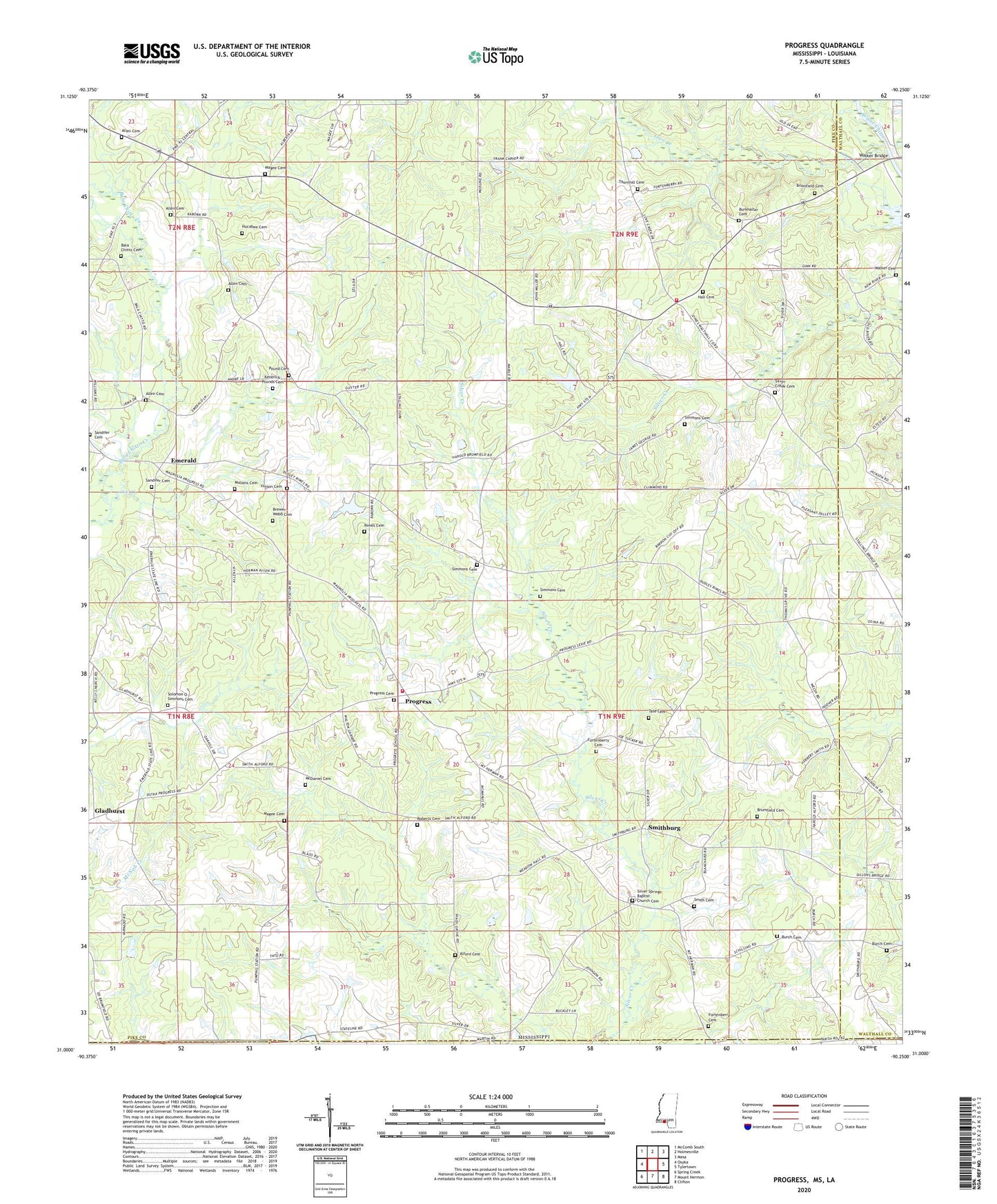
2024 topographic map quadrangle Progress in the state of Mississippi. Scale: 1:24000. Based on the newly updated USGS 7.5' US Topo map series, this map is in the following counties: Pike, Walthall, Washington, Tangipahoa. The map contains contour data, water features, and other items you are used to seeing on USGS maps, but also has updated roads and other features. This is the next generation of topographic maps. Printed on high-quality waterproof paper with UV fade-resistant inks.
Quads adjacent to this one:
West: Osyka
Northwest: McComb South
North: Holmesville
Northeast: Mesa
East: Tylertown
Southeast: Clifton
South: Mount Hermon
Southwest: Spring Creek
This map covers the same area as the classic USGS quad with code o31090a3.
Contains the following named places: Alford Cemetery, Allen Cemetery, Bala Chitto Cemetery, Bala Chitto Church, Bluff Springs Church, Brewer - Webb Cemetery, Brumfield Cemetery, Burch Cemetery, Burkhalter Cemetery, Dykes Crossing, Emerald, Emerald School, Fortenberry Cemetery, Gladhurst, Good Hope School, Hall Cemetery, Hall Lake Dam, Hinson Cemetery, Hucabee Cemetery, Kendrick-Pounds Cemetery, Love Creek, Magee Cemetery, McDaniel Cemetery, Mogul School, Mullens Cemetery, Pleasant Valley Church, Pound Cemetery, Progress, Progress Baptist Church, Progress Cemetery, Progress School, Progress Volunteer Fire Department Station 1, Progress Volunteer Fire Department Station 2, Rimes Cemetery, Roberts Cemetery, Rose Hill Church, Saint Chapel Baptist Church, Saint Joseph Church, Sandifer Cemetery, Shady Grove Church, Silver Creek Cemetery, Silver Creek Church, Silver Springs Baptist Church Cemetery, Silver Springs Church, Simmons Cemetery, Simmonsville, Smith Cemetery, Smithburg, Solomon O Simmons Cemetery, State Line Church, Sweetwater Creek, Tangipahoa Church, Tate Cemetery, Thomas Grove Church, Thornhill Cemetery, Walker Bridge, Walker Cemetery, Yale College, Yale Community Center


