MyTopo
Toomsuba Mississippi US Topo Map
Couldn't load pickup availability
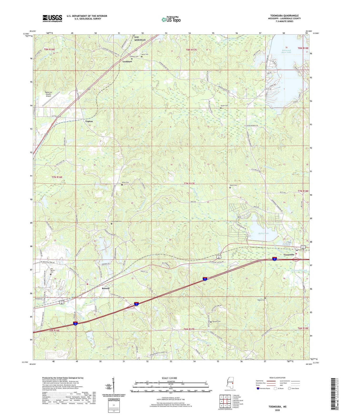
2024 topographic map quadrangle Toomsuba in the state of Mississippi. Scale: 1:24000. Based on the newly updated USGS 7.5' US Topo map series, this map is in the following counties: Lauderdale. The map contains contour data, water features, and other items you are used to seeing on USGS maps, but also has updated roads and other features. This is the next generation of topographic maps. Printed on high-quality waterproof paper with UV fade-resistant inks.
Quads adjacent to this one:
West: Meridian North
Northwest: Daleville
North: Lauderdale
Northeast: Tamola
East: Kewanee
Southeast: Whynot
South: Vimville
Southwest: Meridian South
This map covers the same area as the classic USGS quad with code o32088d5.
Contains the following named places: Academy Hill School, Bailey Lake, Bill Hobson Pond Dam, Brandon Branch, Bright Light Church, Buster Price Pond Dam, Cagal Lake Dam, Charles Welch Catfish Ponds Dam, Curtis Branch, Dalewood Shore Lake, Dalewood Shores Lake Dam, East Jerusalem Church, Engels Lake Dam, First New Hope Church, Galilee Church, Garretts Store, Good Hope Cemetery, Good Hope Church, H L Davis Pond Dam, Hearn Cemetery, John Gilbert Pond Dam, Jones Mill, Knox Mill, Lees Mill, Little Zion Church, Lockhart, Lockhart Cemetery, Lockhart Church, Magnolia White Place, Melwyn, Miller Cemetery, Morgan Lake Dam, Mount Gilead Church, Mount Zion Church, Old Marion Cemetery, Parker Cemetery, Parker Lakes Dam, Pigford Cemetery, Pleasant Grove Church, R Rivers Pond Dam, Rawson Cemetery, Rawsonville, Richard Randell Pond Dam, Russell, Russell Baptist Church, Russell Volunteer Fire and Rescue Department, Saint Paul Church, Tom Bailey Lake Dam, Toomsuba, Toomsuba Baptist Church, Toomsuba Census Designated Place, Toomsuba Post Office, Toomsuba School, Toomsuba Volunteer Fire Department, Topton, Topton Air Estates Airport, W G Williams Pond Dam, Walker Chapel, White Cemetery, Willow Lake Dam


