MyTopo
Calhoun East Missouri US Topo Map
Couldn't load pickup availability
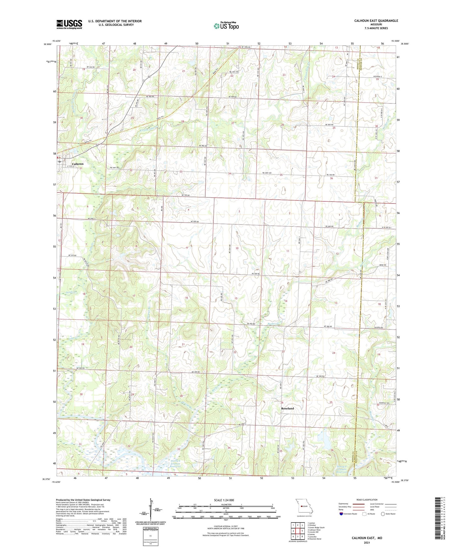
2021 topographic map quadrangle Calhoun East in the state of Missouri. Scale: 1:24000. Based on the newly updated USGS 7.5' US Topo map series, this map is in the following counties: Henry, Benton. The map contains contour data, water features, and other items you are used to seeing on USGS maps, but also has updated roads and other features. This is the next generation of topographic maps. Printed on high-quality waterproof paper with UV fade-resistant inks.
Quads adjacent to this one:
West: Calhoun West
Northwest: Leeton
North: Windsor
Northeast: Green Ridge South
East: Lincoln NW
Southeast: Shawnee Bend
South: Leesville
Southwest: Gaines
Contains the following named places: Barber Lake Dam, Calhoun Post Office, Calhoun Rural Fire Association, Collins Mill, Crews School, Duck Creek, East Fork Tebo Creek, Edgewood School, Fort Lyon, George Branch, George School, Goffs Post Office, Haydens Grove Church, Middle Fork Tebo Creek, Moore School, Mount Olivet Church, Nelson Creek, Noland Lake Dam, Oak Grove Church, Oakdale School, Oakland School, Powell School, Roseland, Sand Creek, Thrush, Township of Springfield, West Fork Tebo Creek, Williams Lake, Williams Lake Section 35 Dam, Williams Lake Section 36 Dam, Yolo, Yolo Post Office, ZIP Code: 65323