MyTopo
Cameron West Missouri US Topo Map
Couldn't load pickup availability
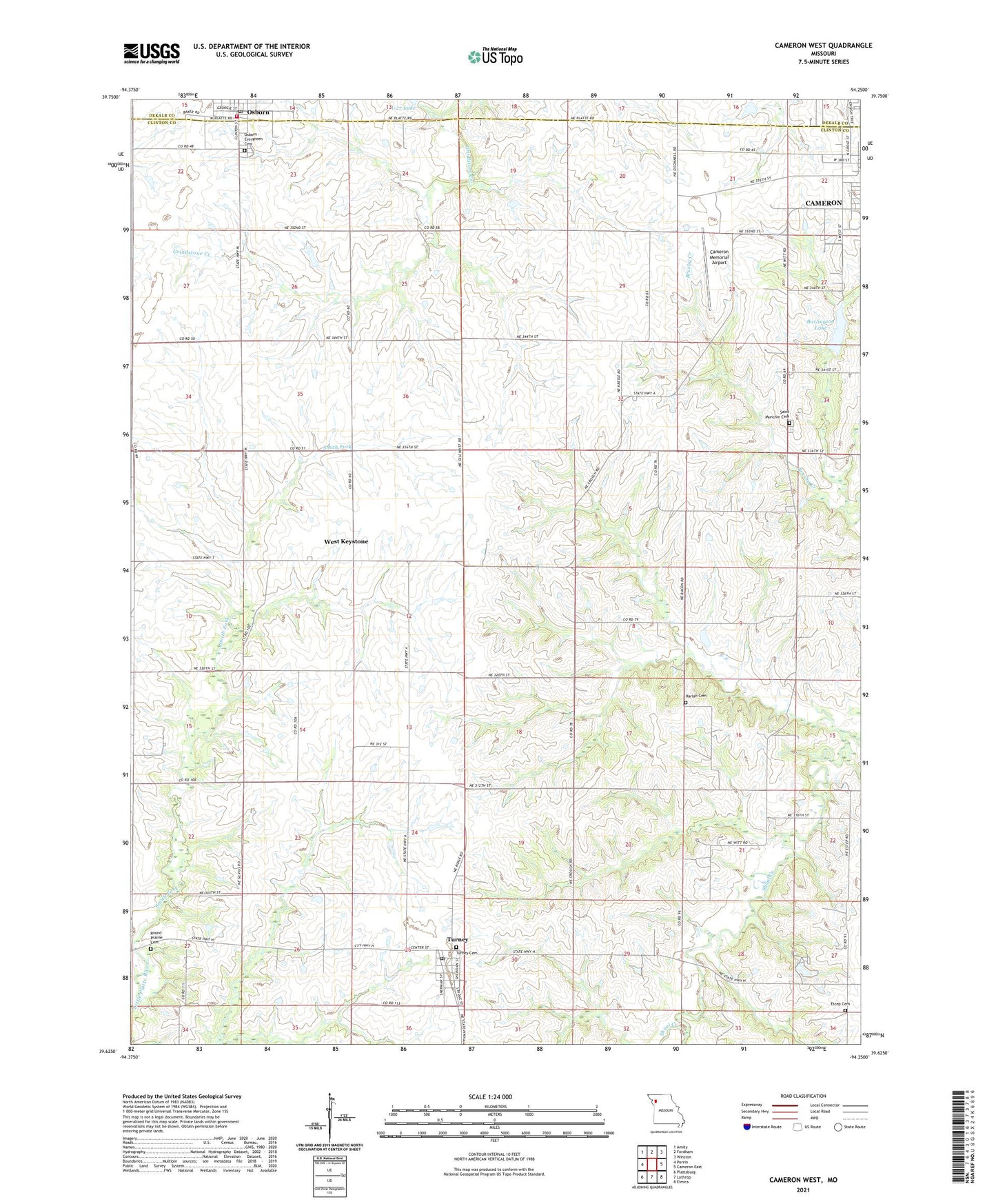
2021 topographic map quadrangle Cameron West in the state of Missouri. Scale: 1:24000. Based on the newly updated USGS 7.5' US Topo map series, this map is in the following counties: Clinton, DeKalb. The map contains contour data, water features, and other items you are used to seeing on USGS maps, but also has updated roads and other features. This is the next generation of topographic maps. Printed on high-quality waterproof paper with UV fade-resistant inks.
Quads adjacent to this one:
West: Perrin
Northwest: Amity
North: Fordham
Northeast: Winston
East: Cameron East
Southeast: Elmira
South: Lathrop
Southwest: Plattsburg
This map covers the same area as the classic USGS quad with code o39094f3.
Contains the following named places: Burlington Lake, Burlington Reservoir Dam, Cameron Memorial Airport, City of Osborn, Estep Cemetery, Grindstone-Lost-Muddy Creek Watershed Dam A-27, Harbor School, Harlan Cemetery, High Prairie School, Keystone, Keystone School, Little Shoal Creek, Oak Grove School, Osborn, Osborn - Evergreen Cemetery, Osborn Fire Protection District, Osborn Post Office, Pleasant Hill School, Pleasant Ridge School, Potter School, Round Prairie Cemetery, Round Prairie School, Saint Munchin Cemetery, Smith Fork, Smith Fork Church, Township of Shoal, Turney, Turney Cemetery, Turney Post Office, Village of Turney, West Keystone, ZIP Code: 64493