MyTopo
Fuson Missouri US Topo Map
Couldn't load pickup availability
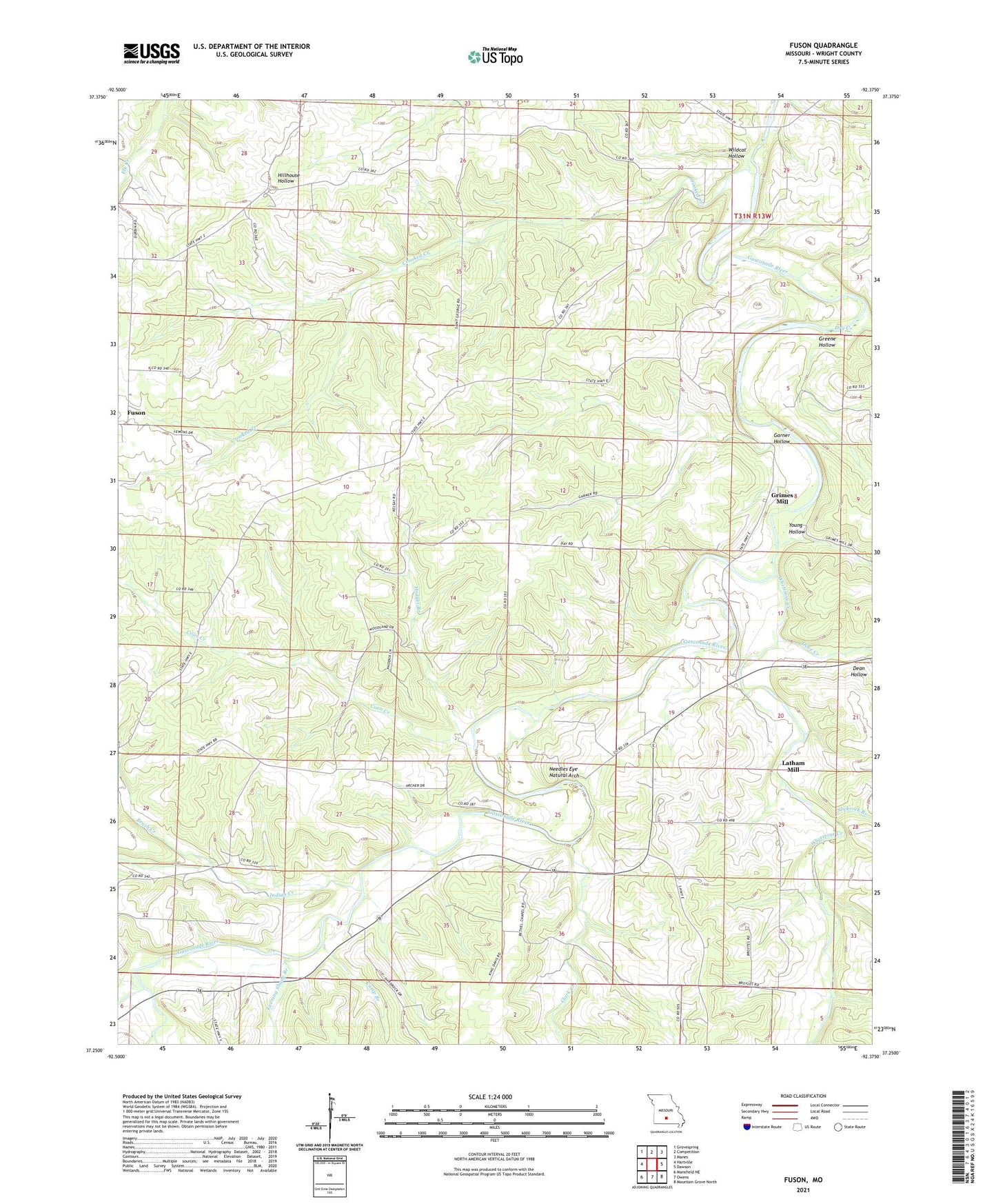
2021 topographic map quadrangle Fuson in the state of Missouri. Scale: 1:24000. Based on the newly updated USGS 7.5' US Topo map series, this map is in the following counties: Wright. The map contains contour data, water features, and other items you are used to seeing on USGS maps, but also has updated roads and other features. This is the next generation of topographic maps. Printed on high-quality waterproof paper with UV fade-resistant inks.
Quads adjacent to this one:
West: Hartville
Northwest: Grovespring
North: Competition
Northeast: Manes
East: Dawson
Southeast: Mountain Grove North
South: Owens
Southwest: Mansfield NE
Contains the following named places: Bethel Church, Broyle School, Brush Creek, Buzzard Bluff State Access, Camp Branch, Church of God, Clark Creek, Coon Creek, Coon Creek Church, Coon Creek School, Cope Church, Cope School, Crooked Creek, Dove Creek, Dry Creek, Evening Shade Branch, Evening Shade School, Fuson, Garner Hollow, Green Valley Church, Greene Hollow, Grimes Mill, Hodges Branch, Indian Creek, Indian Grove School, Latham Mill, Lick Fork Gasconade River, Needles Eye, Needles Eye Natural Arch, Pleasant Valley Church, Pleasant Valley School, Robinette School, Slickrock Branch, Talmage, Talmage Post Office, Township of Brush Creek, Whetstone Creek, Wildcat Hollow, Woods Fork Gasconade River, Wright County, Young Hollow