MyTopo
Gower Missouri US Topo Map
Couldn't load pickup availability
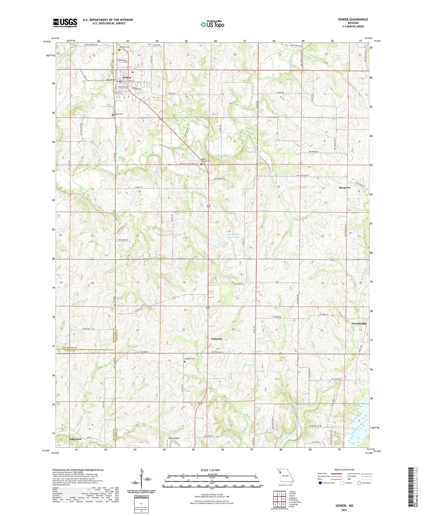
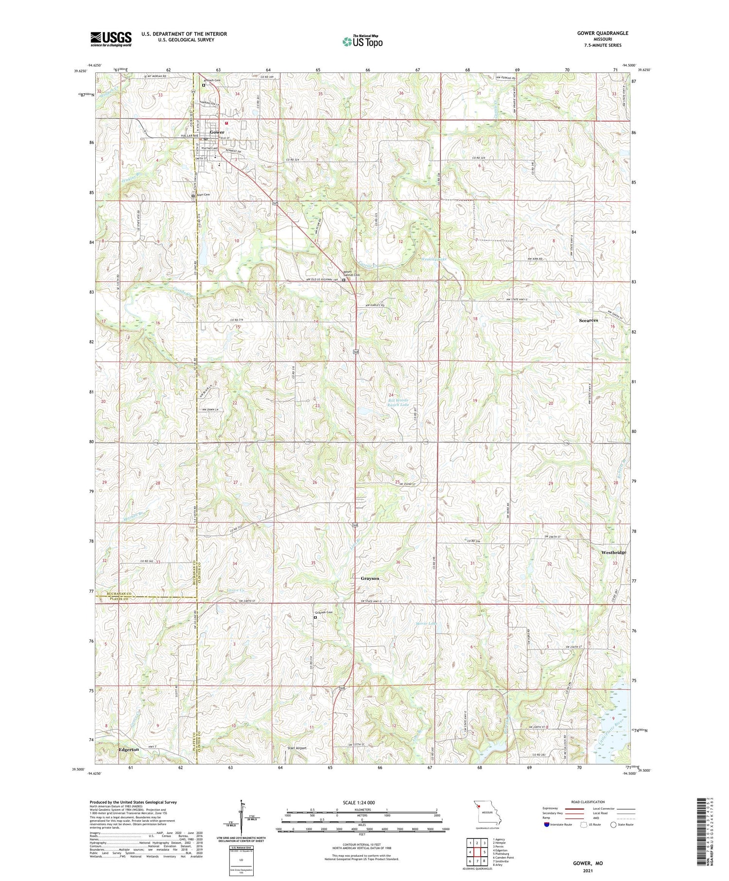
2021 topographic map quadrangle Gower in the state of Missouri. Scale: 1:24000. Based on the newly updated USGS 7.5' US Topo map series, this map is in the following counties: Clinton, Buchanan, Platte. The map contains contour data, water features, and other items you are used to seeing on USGS maps, but also has updated roads and other features. This is the next generation of topographic maps. Printed on high-quality waterproof paper with UV fade-resistant inks.
Quads adjacent to this one:
West: Edgerton
Northwest: Agency
North: Hemple
Northeast: Perrin
East: Plattsburg
Southeast: Arley
South: Smithville
Southwest: Camden Point
Contains the following named places: Allen Cemetery, Antioch Cemetery, Berry School, Bill Woods Ranch Lake, City of Gower, East Buchanan Elementary School, East Buchanan High School, Gower, Gower Fire Protection District, Gower Police Department, Gower Post Office, Gower Reservoir Dam, Grayson, Grayson Cemetery, Grayson Census Designated Place, Hord School, Hords Spur, Morse Lake, Morse Lake Dam, Mount Carmel Cemetery, Mount Carmel School, Mount Hope School, Scearces, Stony Point Church, Stony Point School, Township of Atchison, Weakley Lake, Westbridge, Winn School, Woods Dam, Zurbuchen Lake Dam, ZIP Code: 64454