MyTopo
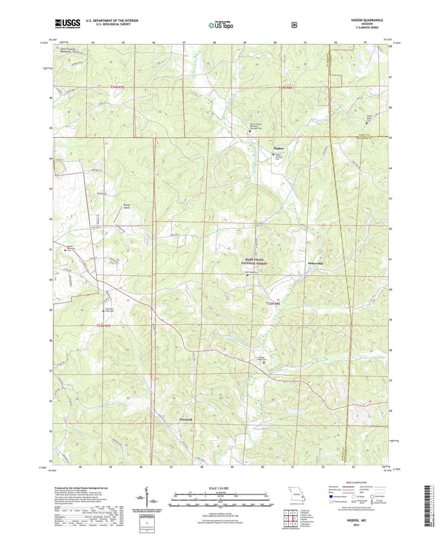
Higdon Missouri US Topo Map
Couldn't load pickup availability
Also explore the Higdon Forest Service Topo of this same quad for updated USFS data
2021 topographic map quadrangle Higdon in the state of Missouri. Scale: 1:24000. Based on the newly updated USGS 7.5' US Topo map series, this map is in the following counties: Madison, Bollinger, Perry. The map contains contour data, water features, and other items you are used to seeing on USGS maps, but also has updated roads and other features. This is the next generation of topographic maps. Printed on high-quality waterproof paper with UV fade-resistant inks.
Quads adjacent to this one:
West: Fredericktown
Northwest: Knob Lick
North: Womack
Northeast: Parker Lake
East: Patton
Southeast: Hurricane
South: Marquand
Southwest: Cherokee Pass
This map covers the same area as the classic USGS quad with code o37090e2.
Contains the following named places: Campbell School, Cape Creek, Castor Station, Church of Jesus Christ, Combs Branch, Cornwall, Cornwall Church, Dry Branch, East Madison School, Hackle Creek, Hahns Mill, Higdon, Mine LaMotte, Mount Gilead Church, Peterman - Dees Cemetery, Phillips Airport, Southeastern Ozarks, Spring Valley Cemetery, Spring Valley Church, Spring Valley Creek, Spring Valley School, Stannett Creek, Township of Castor, Tucker Creek, Turkey Creek, Underwood Cemetery, Underwood School