MyTopo
Moundville Missouri US Topo Map
Couldn't load pickup availability
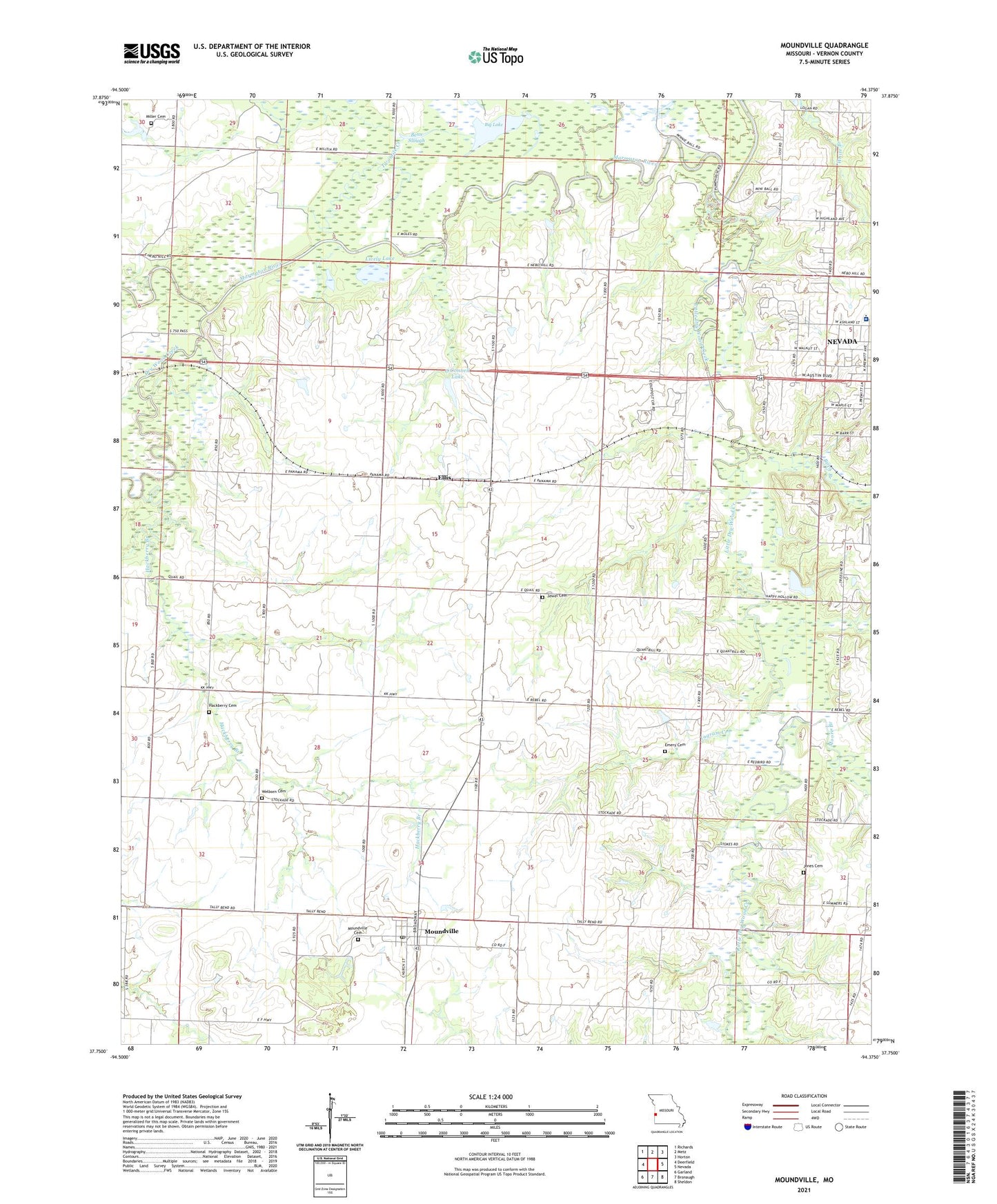
2021 topographic map quadrangle Moundville in the state of Missouri. Scale: 1:24000. Based on the newly updated USGS 7.5' US Topo map series, this map is in the following counties: Vernon. The map contains contour data, water features, and other items you are used to seeing on USGS maps, but also has updated roads and other features. This is the next generation of topographic maps. Printed on high-quality waterproof paper with UV fade-resistant inks.
Quads adjacent to this one:
West: Deerfield
Northwest: Richards
North: Metz
Northeast: Horton
East: Nevada
Southeast: Sheldon
South: Bronaugh
Southwest: Garland
This map covers the same area as the classic USGS quad with code o37094g4.
Contains the following named places: Beckmon Cemetery, Bens Slough, Big Drywood Creek Wildlife Area, Big Lake, Birch Branch, Carl School, Dry Wood Creek, Elliott Lake Dam, Ellis, Emery Cemetery, Green River, Hackberry Branch, Hackberry Cemetery, Hackberry School, Happy Hollow Lake, Hattons Slough, Hazel Dell School, Heartland Behavioral Health Services, Heartland R-V School, Ingram Creek, Jewel Cemetery, Jones Cemetery, KNMO-FM (Nevada), Little Dry Wood Creek, Lively Lake, Miller Cemetery, Miller School, Moore Branch, Moundville, Moundville Cemetery, Moundville Post Office, Moundville School, Nash School, Oak Grove School, O'Connell Dam, O'Connell Lake, Pickrel Dam, Pleasant Ridge School, Richard McWherter Dam, Richard McWherter Reservoir, Saint Francis Convent, Sylvan Dale Baptist Church, Sylvan Dale School, Town of Moundville, Township of Deerfield, Twomile Creek, Welborn Cemetery, Wilson Lake, ZIP Code: 64771


