MyTopo
Pleasant Hill Missouri US Topo Map
Couldn't load pickup availability
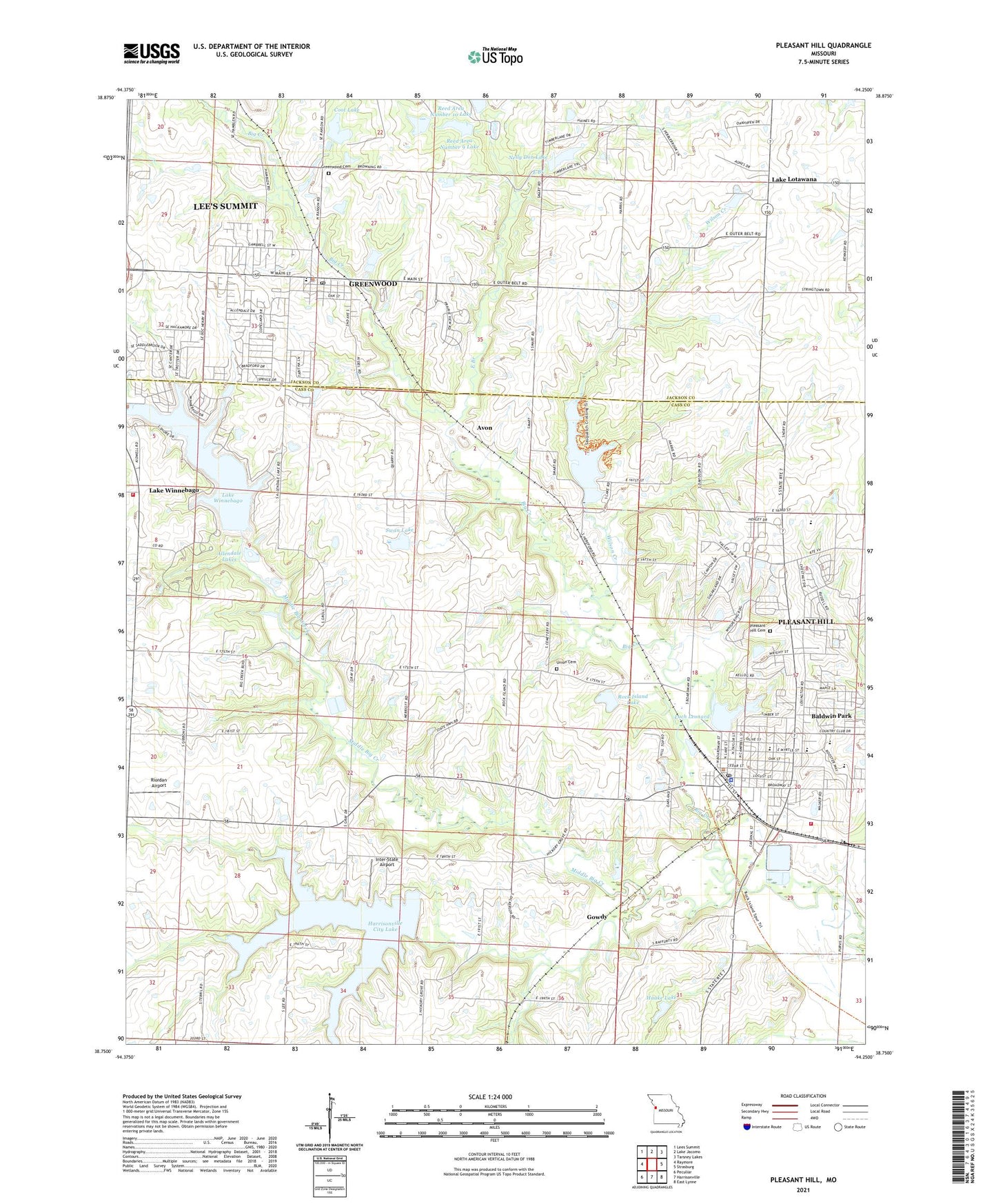
2021 topographic map quadrangle Pleasant Hill in the state of Missouri. Scale: 1:24000. Based on the newly updated USGS 7.5' US Topo map series, this map is in the following counties: Cass, Jackson. The map contains contour data, water features, and other items you are used to seeing on USGS maps, but also has updated roads and other features. This is the next generation of topographic maps. Printed on high-quality waterproof paper with UV fade-resistant inks.
Quads adjacent to this one:
West: Raymore
Northwest: Lees Summit
North: Lake Jacomo
Northeast: Tarsney Lakes
East: Strasburg
Southeast: East Lynne
South: Harrisonville
Southwest: Peculiar
This map covers the same area as the classic USGS quad with code o38094g3.
Contains the following named places: Allendale Dam, Allendale Lake, Allendale Lakes, Avon, Bluestem Lake Dam, Bodarc Lake Dam, Brush College Number 2 School, City of Greenwood, City of Lake Winnebago, City of Pleasant Hill, Coot Lake, Crossroads School, Dogwood Energy Facility, East Branch, Elmo School, Fairview Farms Lake Dam, Franklin Lakes, Gopher Lake Dam, Gowdy, Greenwood, Greenwood Cemetery, Greenwood Elementary School, Greenwood Police Department, Greenwood Post Office, Haake Lake, Haake Lake Dam, Harrisonville City Lake, Harrisonville City Lake Dam, Hickory Grove Church, Hickory Grove School, Inter-State Airport, Judy School, Kellogg Lake, Lake Winnebago, Lake Winnebago Dam, Lake Winnebago Municipal Airport, Loch Leonard, Loch Leonard Dam, Lone Star School, Maple Grove School, Middle Big Creek, Mononame 697 Dam, Nelly Don Lake, Pleasant Hill, Pleasant Hill Cemetery, Pleasant Hill Elementary School, Pleasant Hill Fire Department, Pleasant Hill High School, Pleasant Hill Intermediate School, Pleasant Hill Lake, Pleasant Hill Lake Dam, Pleasant Hill Middle School, Pleasant Hill Police Department, Pleasant Hill Post Office, Pleasant Hill Primary School, Pleasant Hill Wastewater Treatment Facility, Reed Area Number 10 Lake, Reed Area Number 3 Dam, Reed Area Number 9 Lake, Richlawn, Riordan Airport, Rock Island Lake, South Metropolitan Fire Protection District Station 2, Swan Lake, Swan Lake Dam, Township of Big Creek, Township of Pleasant Hill, Union Cemetery, White Cloud School, Wilson Creek, Woodland School, Wyoming, ZIP Codes: 64034, 64080