MyTopo
Proctor Creek Missouri US Topo Map
Couldn't load pickup availability
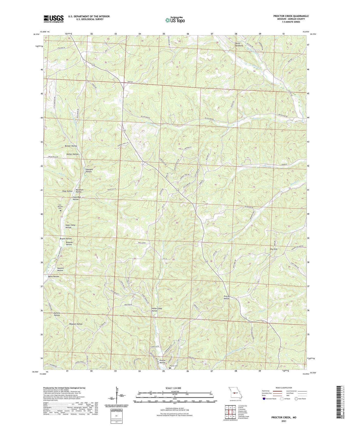
2021 topographic map quadrangle Proctor Creek in the state of Missouri. Scale: 1:24000. Based on the newly updated USGS 7.5' US Topo map series, this map is in the following counties: Morgan. The map contains contour data, water features, and other items you are used to seeing on USGS maps, but also has updated roads and other features. This is the next generation of topographic maps. Printed on high-quality waterproof paper with UV fade-resistant inks.
Quads adjacent to this one:
West: Boylers Mill
Northwest: Crockerville
North: Stover
Northeast: Versailles
East: Gravois Mills
Southeast: Sunrise Beach
South: Bollinger Creek
Southwest: Knobby
This map covers the same area as the classic USGS quad with code o38092c8.
Contains the following named places: Ard - Menteer Cemetery, Bates Hollow, Brewer Hollow, Brewner Hollow, Bryant Hollow, Carlisle School, Coon Rod Hollow, Decker Hollow, Dennis Lake Dam, Dry Sink, Flag Branch, Holt Creek, Indian Camp Hollow, Lindloff School, Locust Church, Locust Creek, Locust School, Markham Hollow, New Bethel Church, Proctor, Proctor Cemetery, Proctor Creek, Proctor Hollow, Proctor Lookout Tower, Proctor Towersite State Wildlife Area, Richie Church, Rocky Ford Creek, Sawmill Hollow, Shop Hollow, Spangler Hollow, Sugar Camp Hollow, Todd, Township of Buffalo, Webb School


