MyTopo
Redbird Missouri US Topo Map
Couldn't load pickup availability
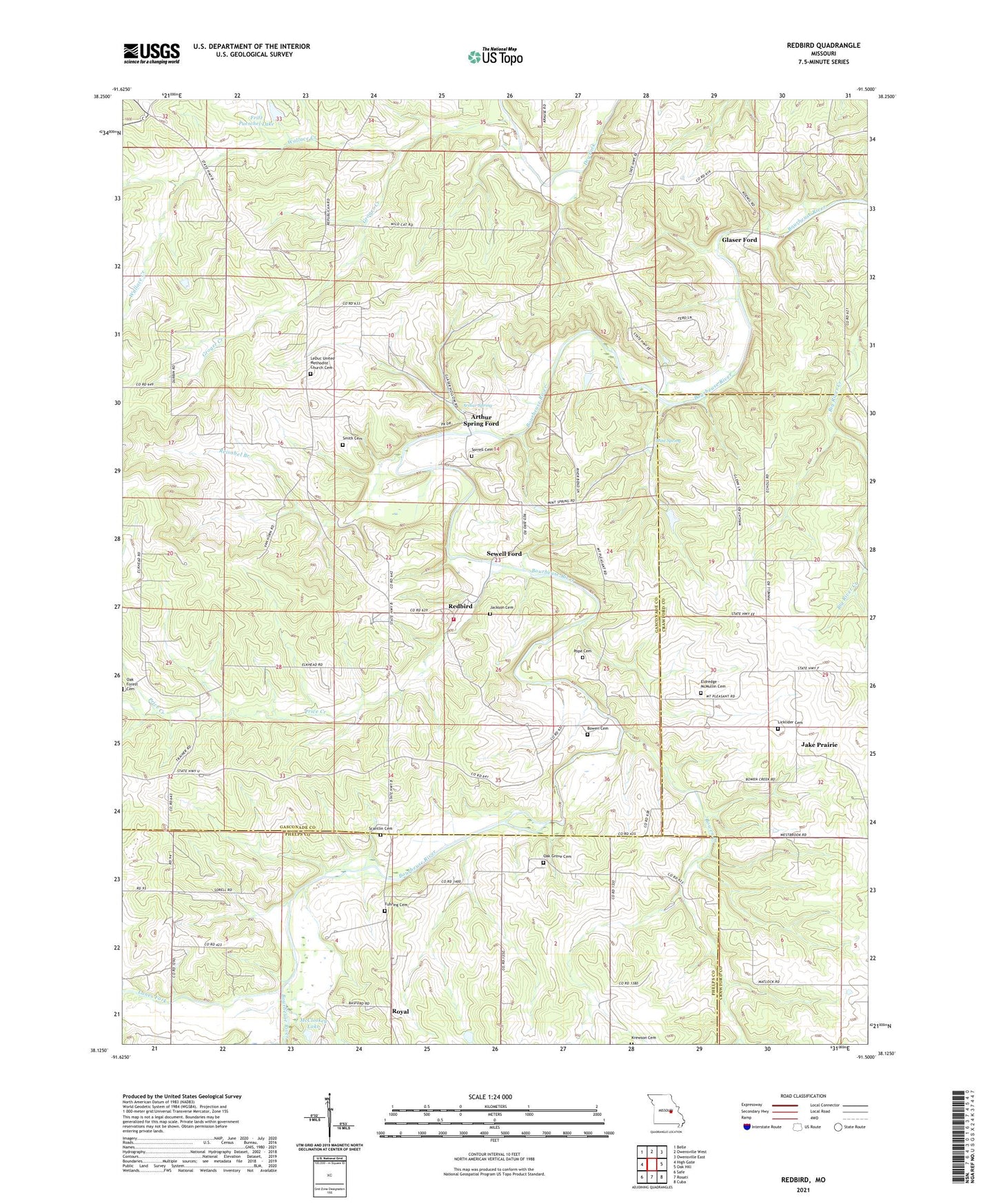
2021 topographic map quadrangle Redbird in the state of Missouri. Scale: 1:24000. Based on the newly updated USGS 7.5' US Topo map series, this map is in the following counties: Gasconade, Phelps, Crawford. The map contains contour data, water features, and other items you are used to seeing on USGS maps, but also has updated roads and other features. This is the next generation of topographic maps. Printed on high-quality waterproof paper with UV fade-resistant inks.
Quads adjacent to this one:
West: High Gate
Northwest: Belle
North: Owensville West
Northeast: Owensville East
East: Oak Hill
Southeast: Cuba
South: Rosati
Southwest: Safe
This map covers the same area as the classic USGS quad with code o38091b5.
Contains the following named places: Arthur Spring, Arthur Spring Ford, Baptist Youth Camp, Bland Volunteer Fire Department Station 2, Blue Spring Church, Bowen Cemetery, Bowen Creek, Collier School, Crossroads Church, Eastern Ozarks, Fritz Pueschel Lake, Fuhring Cemetery, Glaser Ford, Grace School, Groger Creek, Harrison School, Highland School, Iron Ford, Island School, Jacks Prairie School, Jackson Cemetery, Jake Prairie, Jake Prairie Chapel, Krewson Cemetery, Lanes Fork, Leduc, Leduc Church, LeDuc United Methodist Church Cemetery, Lerwick Lake Dam, Licklider Cemetery, Long Ridge School, Margaret, Margaret Post Office, McCloskey Lake, McCloskey Lake Dam, Mint Spring, Mount Pleasant Baptist Church, Mount Pleasant Church, Mount Pleasant Ford, Oak Forest Church, Oak Forest School, Oak Grove Cemetery, Oak Grove Church, Oak Grove School, Pope Cemetery, Price Creek, Pueschel Lake Dam, Redbird, Reisobel Branch, Royal, Scantlin Cemetery, Sewell Ford, Smith Cemetery, Sorrell Cemetery, Township of Bourbois, Vieman, Wallace Creek