MyTopo
West Line Missouri US Topo Map
Couldn't load pickup availability
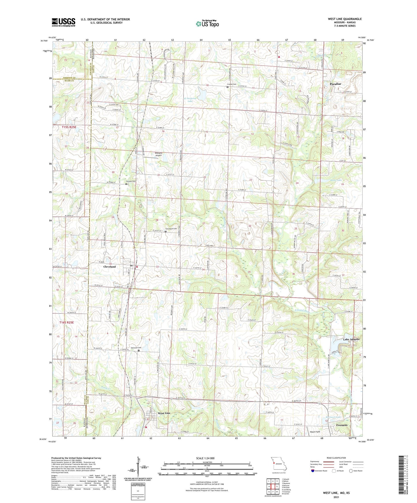
2021 topographic map quadrangle West Line in the state of Missouri. Scale: 1:24000. Based on the newly updated USGS 7.5' US Topo map series, this map is in the following counties: Cass, Miami, Johnson. The map contains contour data, water features, and other items you are used to seeing on USGS maps, but also has updated roads and other features. This is the next generation of topographic maps. Printed on high-quality waterproof paper with UV fade-resistant inks.
Quads adjacent to this one:
West: Bucyrus
Northwest: Stilwell
North: Belton
Northeast: Raymore
East: Peculiar
Southeast: Everett
South: Freeman
Southwest: Louisburg
This map covers the same area as the classic USGS quad with code o38094f5.
Contains the following named places: Al Jurgeson Lake, Al Jurgeson Lake Dam, Bartlett Lake Dam, Belton Wastewater Treatment Facility, Brownville School, Cass County Midway Wastewater Treatment Facility, City of Cleveland, City of Lake Annette, Cleveland, Cleveland Cemetery, Cleveland Post Office, Cleveland School, Corinth Cemetery, Dolan - West Dolan Fire Protection District Station 2, East Creek, Frazee Cemetery, Freeman Water Supply Lake Dam, Glenwild Cemetery, Kurzweil Lake, Kurzweil Lake Dam, Lake Annette, Lake Annette Dam, Massey Creek, Midway Elementary School, Midway High School, Pleasant Prairie School, Pleasant Valley School, Powell, Riverview Estates, Township of Union, Veach Field, Village of Riverview Estates, Village of West Line, Wells Lake, Wells Lake Dam, West Fork East Creek, West Line, West Line School, West Union, West Union Church, West Union School, Western Cass Fire Protection District Station 96, Western Cass Fire Protection District Station 97, Williams Airport, ZIP Code: 64734