MyTopo
Glen SE Montana US Topo Map
Couldn't load pickup availability
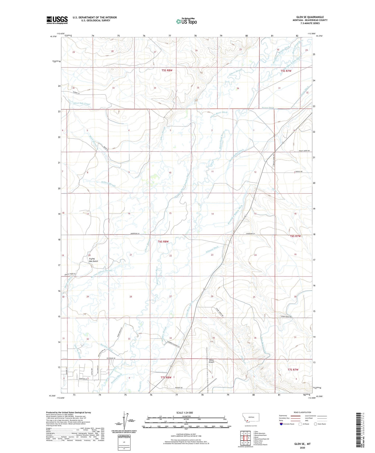
2024 topographic map quadrangle Glen SE in the state of Montana. Scale: 1:24000. Based on the newly updated USGS 7.5' US Topo map series, this map is in the following counties: Beaverhead. The map contains contour data, water features, and other items you are used to seeing on USGS maps, but also has updated roads and other features. This is the next generation of topographic maps. Printed on high-quality waterproof paper with UV fade-resistant inks.
Quads adjacent to this one:
West: Bond
Northwest: Glen
North: Block Mountain
Northeast: Beaverhead Rock
East: Beaverhead Rock SW
Southeast: Christensen Ranch
South: Dillon East
Southwest: Dillon West
This map covers the same area as the classic USGS quad with code o45112c5.
Contains the following named places: 06S07W06AADA01 Well, 06S07W07CCC01_ Well, 06S07W18CCCC02 Well, 06S07W30CCD_01 Well, 06S08W12DCBA02 Well, 06S08W13CABD01 Well, 06S08W23AAAD01 Well, 06S08W23DAC_02 Well, 06S08W24DDD_01 Well, 06S08W26CCCA02 Well, 06S08W26DAB_01 Well, 06S08W27ABD_01 Well, 06S08W27ADC_01 Well, 06S08W27DAA_01 Well, 06S08W35ACD_01 Well, 06S08W36CCB_02 Well, 07S08W01BDA01_ Well, 07S08W03ABA_01 Well, 07S08W03BDCA02 Well, 07S08W03CDA_01 Well, Albers River Ditch, Black Slough, Brown Ditch, Burfiend Station, Carter Creek, Dillon Airport, Drummy Ditch Number Two, East Bench Canal, Frying Pan Gulch, Hayden Ditch, Johnson Ditch, Larson Ditch, Lower River Ditch, Morton Ditch, Murray Gilbert Slough, Nat Woods Crossing, Selway Slough, Smith Mailey Ditch, Staudaher Bishop Ditch, Staudaher Ditch, Staudaher East Side Ditch, Staudaher West Side Ditch, Stodden Slough, Stone Creek, Stones Precinct, Stones Precinct Post Office, Willard Slough