MyTopo
Belt NE Montana US Topo Map
Couldn't load pickup availability
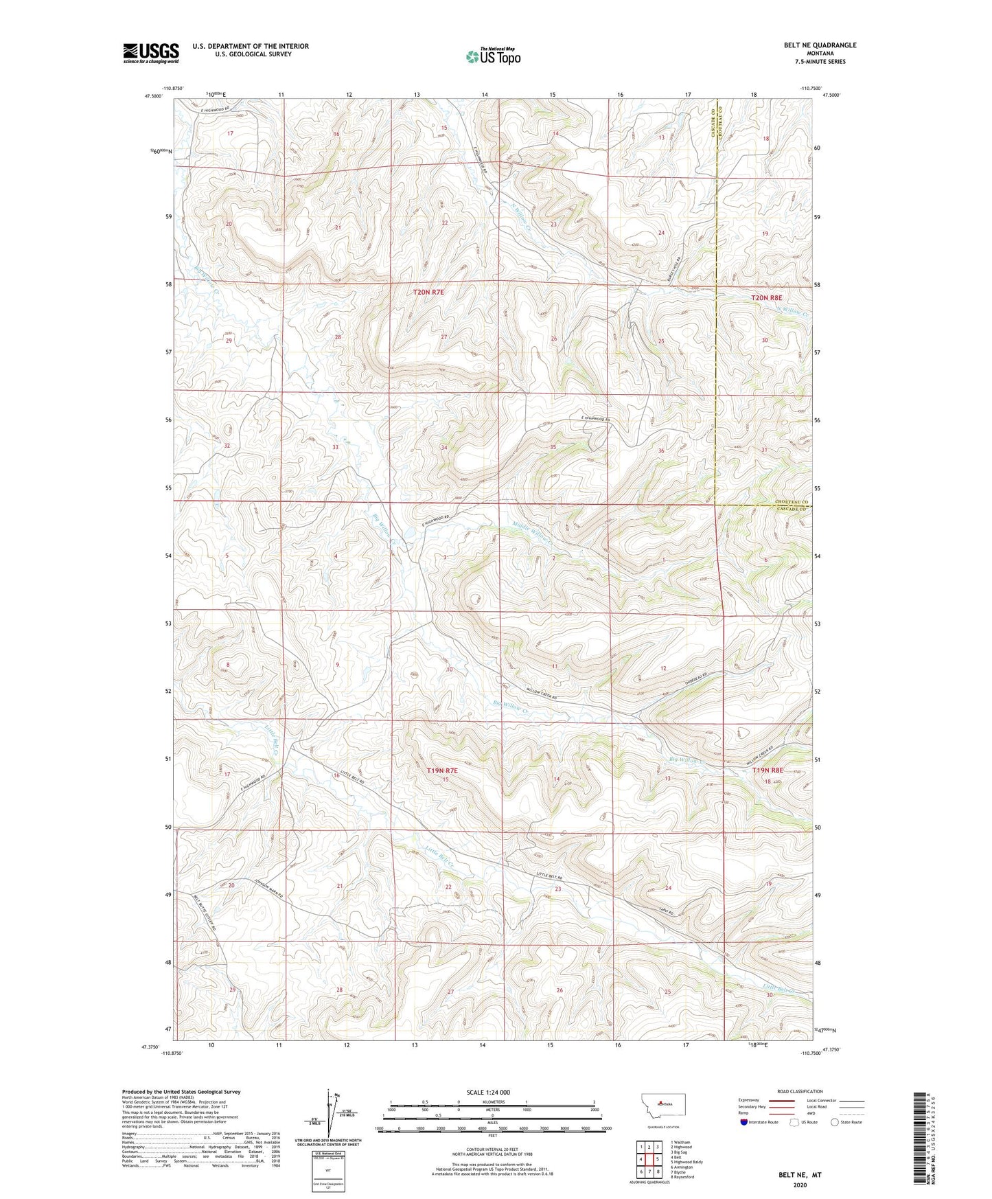
2024 topographic map quadrangle Belt NE in the state of Montana. Scale: 1:24000. Based on the newly updated USGS 7.5' US Topo map series, this map is in the following counties: Cascade, Chouteau. The map contains contour data, water features, and other items you are used to seeing on USGS maps, but also has updated roads and other features. This is the next generation of topographic maps. Printed on high-quality waterproof paper with UV fade-resistant inks.
Quads adjacent to this one:
West: Belt
Northwest: Waltham
North: Highwood
Northeast: Big Sag
East: Highwood Baldy
Southeast: Raynesford
South: Blythe
Southwest: Armington
This map covers the same area as the classic USGS quad with code o47110d7.
Contains the following named places: 19N07E02DD__01 Well, 20N07E33____01 Well, Gillette School, Little Belt School, Middle Willow Creek, Roosevelt School, Willow Belt Dam, Willow Bend School, Willow Creek Ranch