MyTopo
Big Draw Montana US Topo Map
Couldn't load pickup availability
Also explore the Big Draw Forest Service Topo of this same quad for updated USFS data
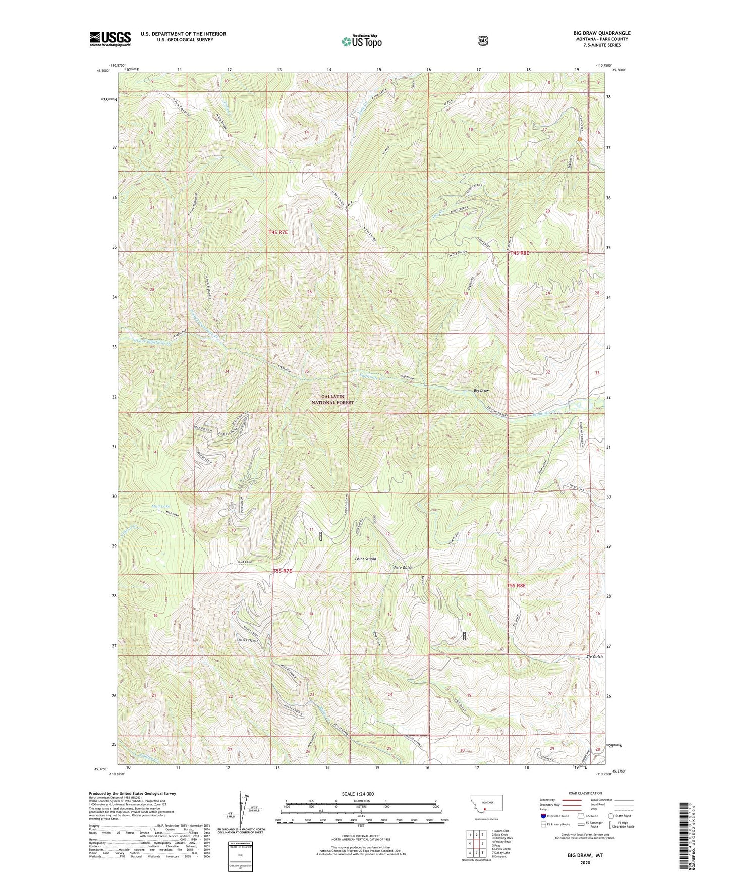
2024 topographic map quadrangle Big Draw in the state of Montana. Scale: 1:24000. Based on the newly updated USGS 7.5' US Topo map series, this map is in the following counties: Park. The map contains contour data, water features, and other items you are used to seeing on USGS maps, but also has updated roads and other features. This is the next generation of topographic maps. Printed on high-quality waterproof paper with UV fade-resistant inks.
Quads adjacent to this one:
West: Fridley Peak
Northwest: Mount Ellis
North: Bald Knob
Northeast: Chimney Rock
East: Pray
Southeast: Emigrant
South: Dailey Lake
Southwest: Lewis Creek
This map covers the same area as the classic USGS quad with code o45110d7.
Contains the following named places: Big Draw, Mud Lake, North Fork Eightmile Creek, Point Stupid, Pole Gulch Trail, South Fork Eightmile Creek, Tie Gulch