MyTopo
Big Horn Mountain Montana US Topo Map
Couldn't load pickup availability
Also explore the Big Horn Mountain Forest Service Topo of this same quad for updated USFS data
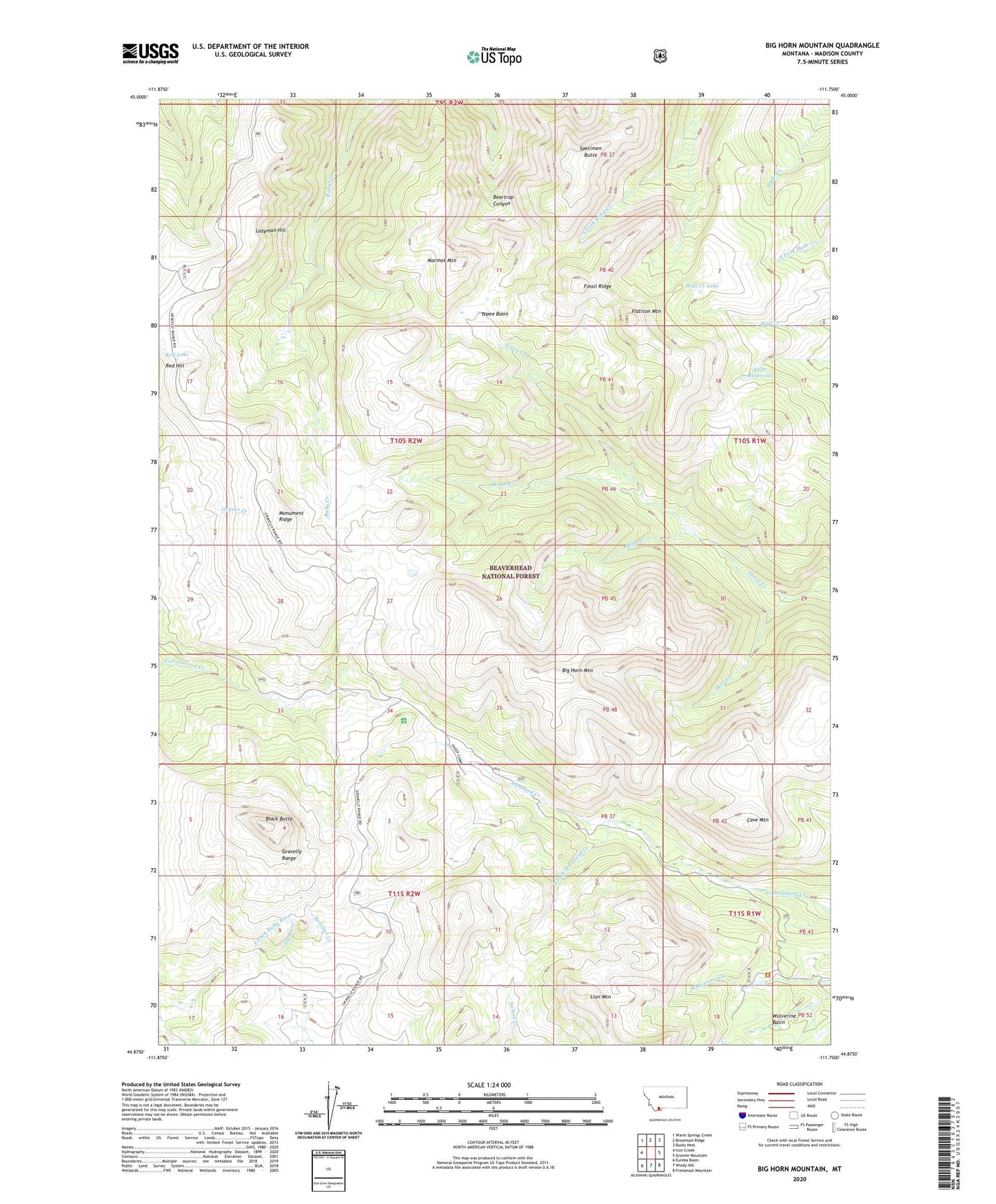
2024 topographic map quadrangle Big Horn Mountain in the state of Montana. Scale: 1:24000. Based on the newly updated USGS 7.5' US Topo map series, this map is in the following counties: Madison. The map contains contour data, water features, and other items you are used to seeing on USGS maps, but also has updated roads and other features. This is the next generation of topographic maps. Printed on high-quality waterproof paper with UV fade-resistant inks.
Quads adjacent to this one:
West: Iron Creek
Northwest: Warm Springs Creek
North: Broomtail Ridge
Northeast: Bucks Nest
East: Granite Mountain
Southeast: Freezeout Mountain
South: Windy Hill
Southwest: Eureka Basin
This map covers the same area as the classic USGS quad with code o44111h7.
Contains the following named places: Alpine Creek, Big Horn Mountain, Black Butte, Black Butte Ranger Station, Cave Mountain, Deer Creek, Flatiron Mountain, Fossil Ridge, Hyde Creek Trail, Klatt Dam, Klatt Reservoir, Lazyman Hill, Lion Mountain, Marmot Mountain, Monument Ridge, Rebish Sheep Headquarters, Red Hill, Red Lake, Reids Camp, South Fork Standard Creek, Specimen Butte, Tepee Basin, Tepee Creek, Wall Creek Lake