MyTopo
Bucks Nest Montana US Topo Map
Couldn't load pickup availability
Also explore the Bucks Nest Forest Service Topo of this same quad for updated USFS data
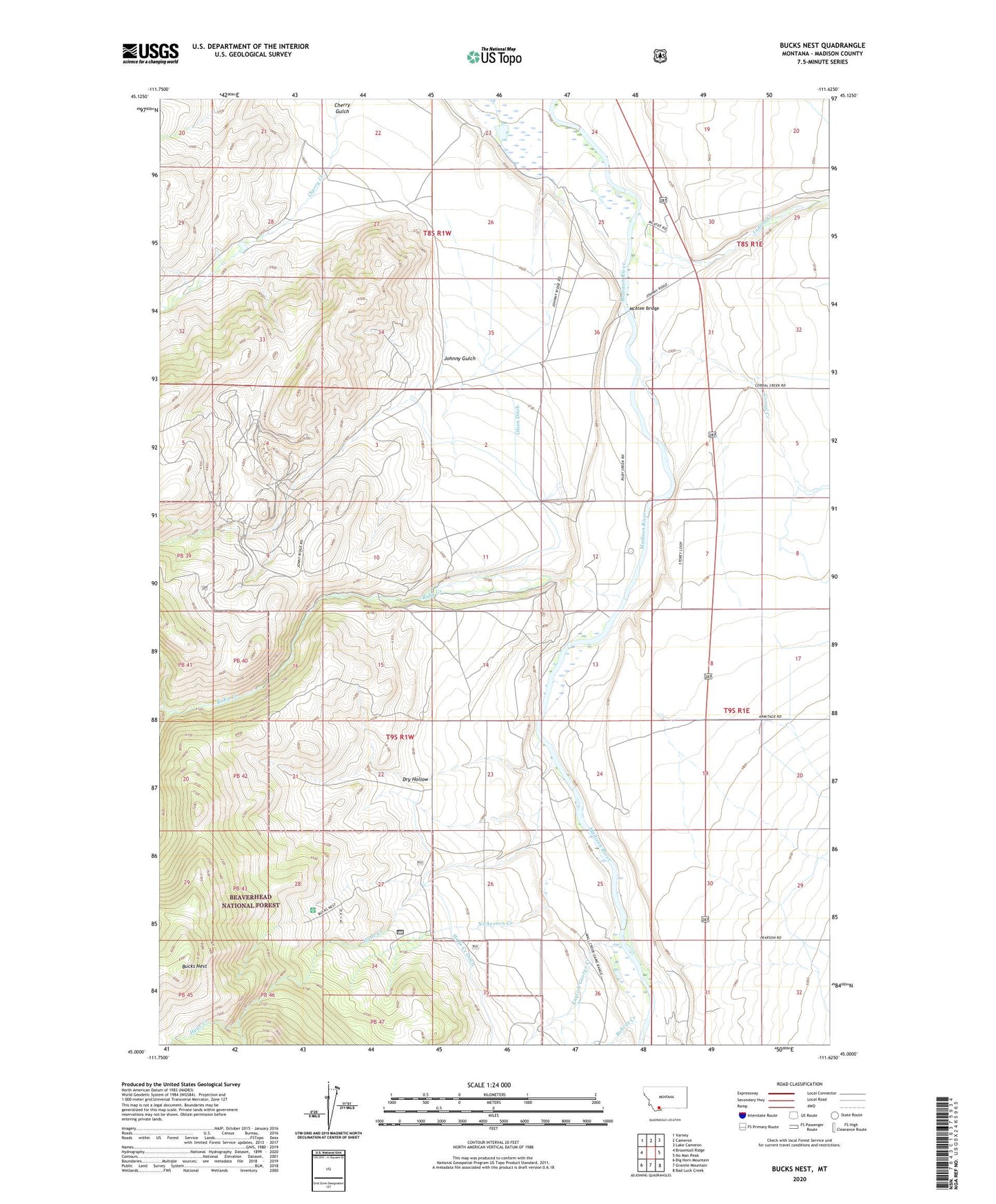
2024 topographic map quadrangle Bucks Nest in the state of Montana. Scale: 1:24000. Based on the newly updated USGS 7.5' US Topo map series, this map is in the following counties: Madison. The map contains contour data, water features, and other items you are used to seeing on USGS maps, but also has updated roads and other features. This is the next generation of topographic maps. Printed on high-quality waterproof paper with UV fade-resistant inks.
Quads adjacent to this one:
West: Broomtail Ridge
Northwest: Varney
North: Cameron
Northeast: Lake Cameron
East: No Man Peak
Southeast: Bad Luck Creek
South: Granite Mountain
Southwest: Big Horn Mountain
This map covers the same area as the classic USGS quad with code o45111a6.
Contains the following named places: 08S01W25BBC_01 Well, 08S01W34DDDB01 Well, 09S01E07CBAC01 Well, 09S01E31BCAB01 Well, 09S01W01DBBA01 Well, 09S01W12DCAD01 Well, Abe, Abe Post Office, Abe School, Bobcat Creek, Bucks Nest, Corral Creek, Cyprus Mine, Dry Fork Trail, Dry Hollow, English George Creek, Horse Creek Ditch, Hyde Creek, Hyde Creek Ditch, Indian Creek, Johnny Gulch, Krauss Sawmill, Lichte Ranch, Lichte Ruby Creek Ditch, McAtee Bridge, McAtee Bridge Sportsmans Access, Mountain Talc Mine, Nickerson Creek, Olsen Ditch, Olsen Ranch, Ruby Creek, Ruby Mine, South Fork Hyde Creek, South Fork Ruby Creek, Wall Creek Forest Service Station, Wall Creek State Wildlife Management Area, West Madison Recreation Area