MyTopo
Buffalo Creek Montana US Topo Map
Couldn't load pickup availability
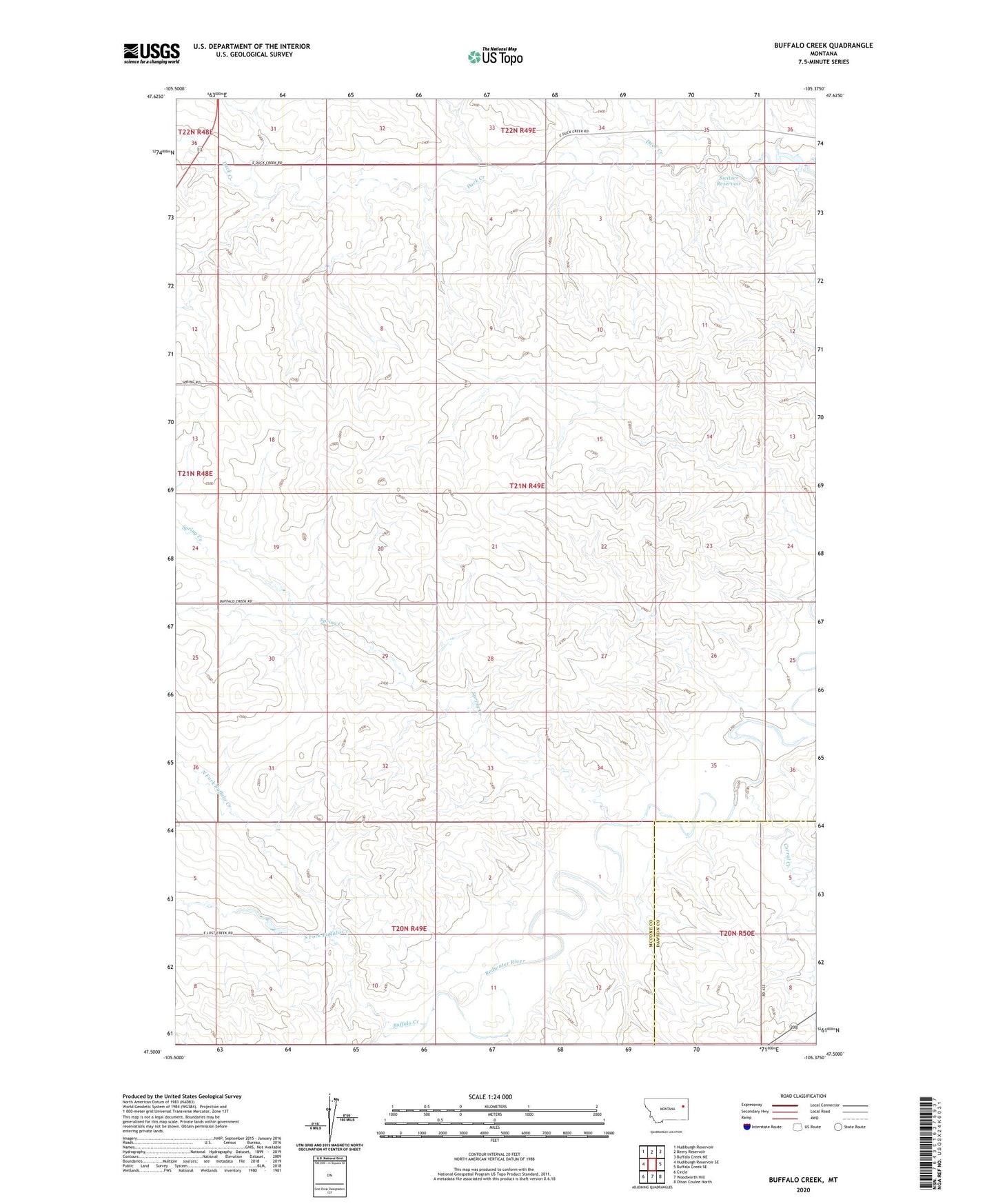
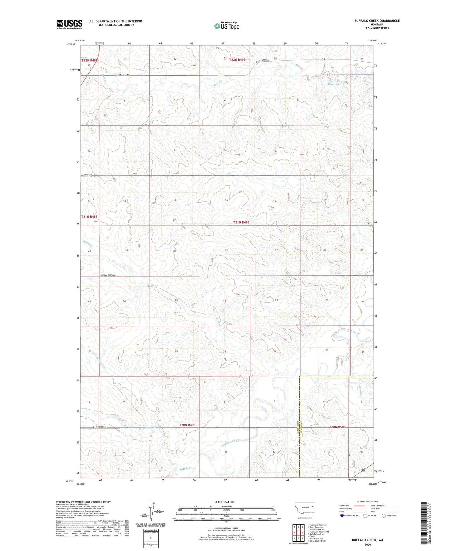
2020 topographic map quadrangle Buffalo Creek in the state of Montana. Scale: 1:24000. Based on the newly updated USGS 7.5' US Topo map series, this map is in the following counties: McCone, Dawson. The map contains contour data, water features, and other items you are used to seeing on USGS maps, but also has updated roads and other features. This is the next generation of topographic maps. Printed on high-quality waterproof paper with UV fade-resistant inks.
Quads adjacent to this one:
West: Hudiburgh Reservoir SE
Northwest: Hudiburgh Reservoir
North: Beery Reservoir
Northeast: Buffalo Creek NE
East: Buffalo Creek SE
Southeast: Olson Coulee North
South: Woodworth Hill
Southwest: Circle
Contains the following named places: 20N49E03CBCC01 Well, 20N49E04CDDC01 Well, 20N49E08ABBA01 Well, 20N50E06ABBB01 Well, 20N50E06BACD01 Well, 21N49E06ABBA01 Well, 21N49E06BAAA01 Well, 21N49E06BAAA02 Well, 21N49E19CCCD01 Well, 21N49E19DCDC01 Well, 21N49E20CCBA01 Well, 21N49E20CCBC01 Well, 21N49E20CCBC02 Well, 21N49E32AABC01 Well, 22N49E33CCCD01 Well, Buffalo Creek, Corral Creek, Dean S Number 1 Dam, North Fork Buffalo Creek, Redwater, Redwater Post Office, Redwater School, South Fork Buffalo Creek, Spring Creek, Switzer Reservoir