MyTopo
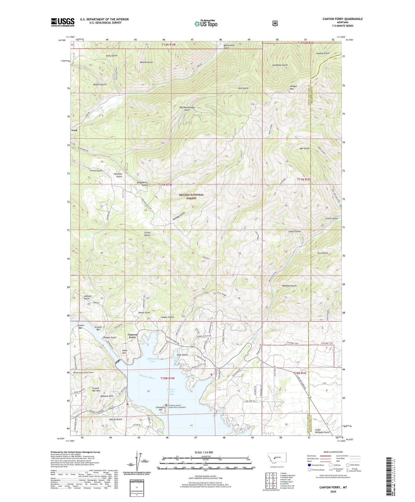
Canyon Ferry Montana US Topo Map
Couldn't load pickup availability
Also explore the Canyon Ferry Forest Service Topo of this same quad for updated USFS data
2024 topographic map quadrangle Canyon Ferry in the state of Montana. Scale: 1:24000. Based on the newly updated USGS 7.5' US Topo map series, this map is in the following counties: Lewis and Clark, Broadwater. The map contains contour data, water features, and other items you are used to seeing on USGS maps, but also has updated roads and other features. This is the next generation of topographic maps. Printed on high-quality waterproof paper with UV fade-resistant inks.
Quads adjacent to this one:
West: Hauser Lake
Northwest: Nelson
North: Hogback Mountain
Northeast: Snedaker Basin
East: Hellgate Gulch
Southeast: Canyon Ferry SE
South: Canyon Ferry SW
Southwest: Louisville
This map covers the same area as the classic USGS quad with code o46111f6.
Contains the following named places: 10N01W02CABB01 Well, 10N01W02CAC_01 Well, Beards Gulch, Big Rattlesnake Gulch, Blacksmith Gulch, Browns Gulch, Canyon Ferry, Canyon Ferry Dam, Canyon Ferry Post Office, Canyon Ferry RV Park, Canyon Ferry School, Cave Bay, Cave Bay Campground, Cave Gulch, Cavetown, Cavetown Post Office, Cemetery Hill, Cemetery Island / Canyon Ferry Cemetery, Cemetery Island Recreation Area, Chinaman Cove, Chinaman Cove Campground, Clarks Gulch, Collins Gulch, Cooper Gulch, Court Sheriff Recreation Area, Coxcy Gulch, Coxcy Gulch Mine, Daytown, Fox Gulch, French Bar, French Bar Mountain, Gennian Gulch, Golden Messenger Mine, Goon Hill, Gruells Bar, Gruells Bar Mine, Hedges Mountain, Holiday Gulch, Horse Gulch, Jo Bonner Campground, Johnnys Gulch, Kelly Gulch, Kingsberry Gulch, Korizek Mine, Little Dandy Mine, Magpie, Magpie Creek, Magpie Recreation Area, NE SE Section 16/Gennian Gulch Mine, NW SE Section 30 Mine, Oregon Gulch, Overlook Recreation Area, Ponderosa Campground, Ponderosa Picnic Area, Riverside Campground, SE NE Section 14/Kingsberry Gulch Mine, SE NW S11/Big Rattlesnake Gulch Mine, SE SE Section 19 Mine, Shannon Recreation Site, Sheriff Gulch, SW NE S11/Big Rattlesnake Gulch Mine, Tri - Lakes Volunteer Fire Department Station 4, Tri - Lakes Volunteer Fire Department Station 5, Washout Gulch


