MyTopo
Coalwood Montana US Topo Map
Couldn't load pickup availability
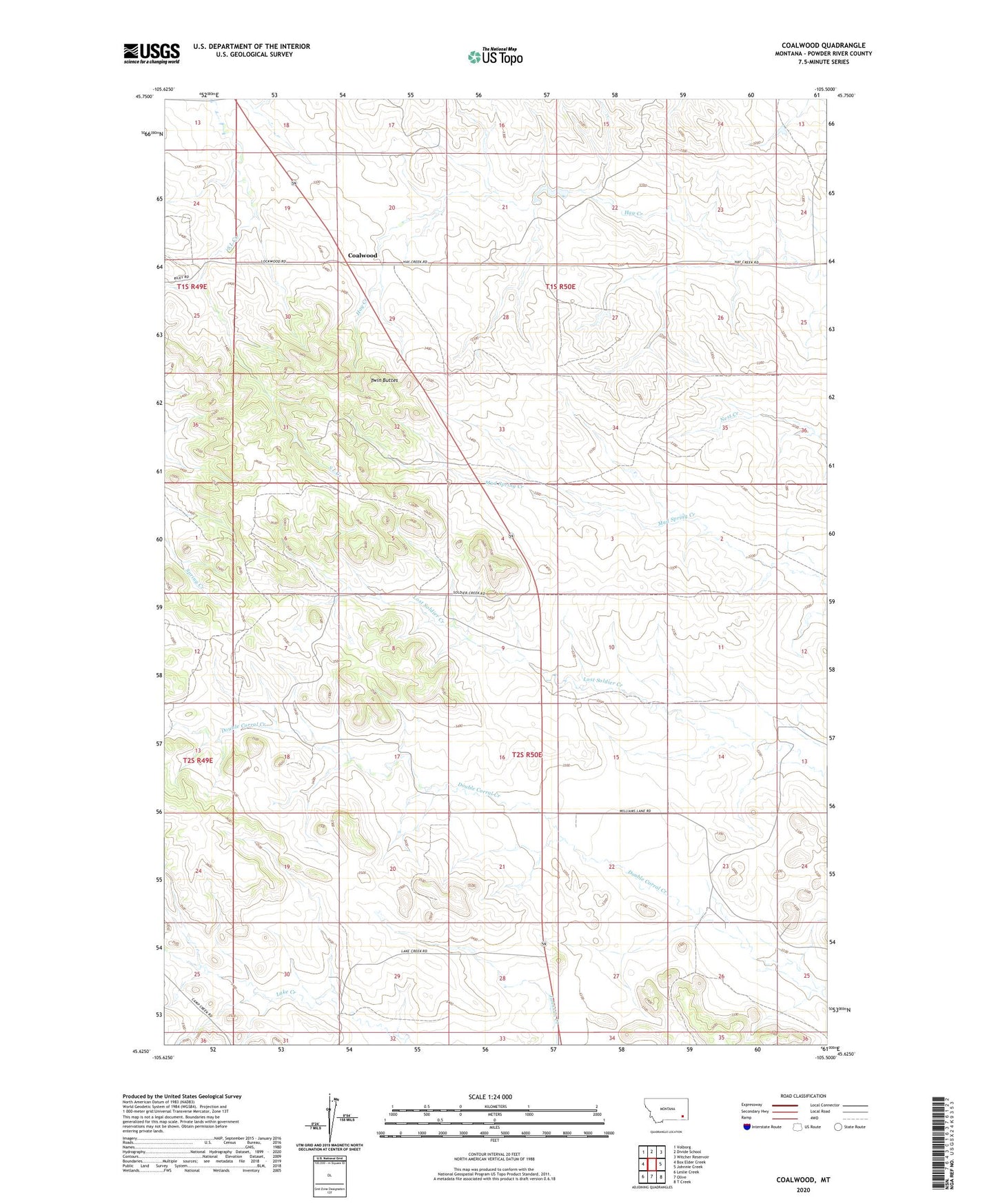
2024 topographic map quadrangle Coalwood in the state of Montana. Scale: 1:24000. Based on the newly updated USGS 7.5' US Topo map series, this map is in the following counties: Powder River. The map contains contour data, water features, and other items you are used to seeing on USGS maps, but also has updated roads and other features. This is the next generation of topographic maps. Printed on high-quality waterproof paper with UV fade-resistant inks.
Quads adjacent to this one:
West: Box Elder Creek
Northwest: Volborg
North: Divide School
Northeast: Witcher Reservoir
East: Johnnie Creek
Southeast: T Creek
South: Olive
Southwest: Leslie Creek
This map covers the same area as the classic USGS quad with code o45105f5.
Contains the following named places: 01N50E32DDBD01 Well, 01S49E25DABC01 Well, 01S50E19AAAA01 Well, 01S50E22BDDD01 Well, 01S50E30ACBB01 Well, 01S50E33CDCC01 Well, 01S50E36BDCD01 Well, 02S50E04DDBB01 Well, 02S50E06DDCA01 Well, 02S50E08AADA01 Well, 02S50E10CCCB01 Well, 02S50E17BADC01 Well, 02S50E17BCDC01 Well, 02S50E17BDBA01 Well, 02S50E17DDDD01 Well, 02S50E18CADC01 Well, 02S50E20DAAA01 Well, 02S50E26DBDB01 Well, 02S50E29DBBB01 Well, 02S50E30ADDC01 Well, 02S50E30DADC01 Well, Coalwood, North Star Mine, R-Janssen Number 1 Dam, Twin Buttes