MyTopo
Deer Peak Montana US Topo Map
Couldn't load pickup availability
Also explore the Deer Peak Forest Service Topo of this same quad for updated USFS data
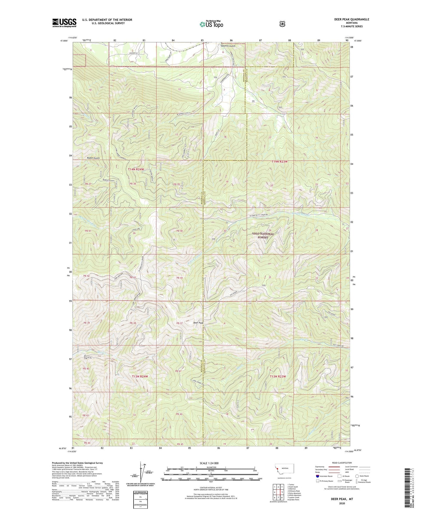
2024 topographic map quadrangle Deer Peak in the state of Montana. Scale: 1:24000. Based on the newly updated USGS 7.5' US Topo map series, this map is in the following counties: Mineral, Missoula. The map contains contour data, water features, and other items you are used to seeing on USGS maps, but also has updated roads and other features. This is the next generation of topographic maps. Printed on high-quality waterproof paper with UV fade-resistant inks.
Quads adjacent to this one:
West: Williams Peak
Northwest: Tarkio
North: Stark South
Northeast: Alberton
East: Petty Mountain
Southeast: Garden Point
South: Lupine Creek
Southwest: White Mountain
This map covers the same area as the classic USGS quad with code o46114h5.
Contains the following named places: Deer Peak, Hebert, Sawmill Gulch