MyTopo
Williams Peak Montana US Topo Map
Couldn't load pickup availability
Also explore the Williams Peak Forest Service Topo of this same quad for updated USFS data
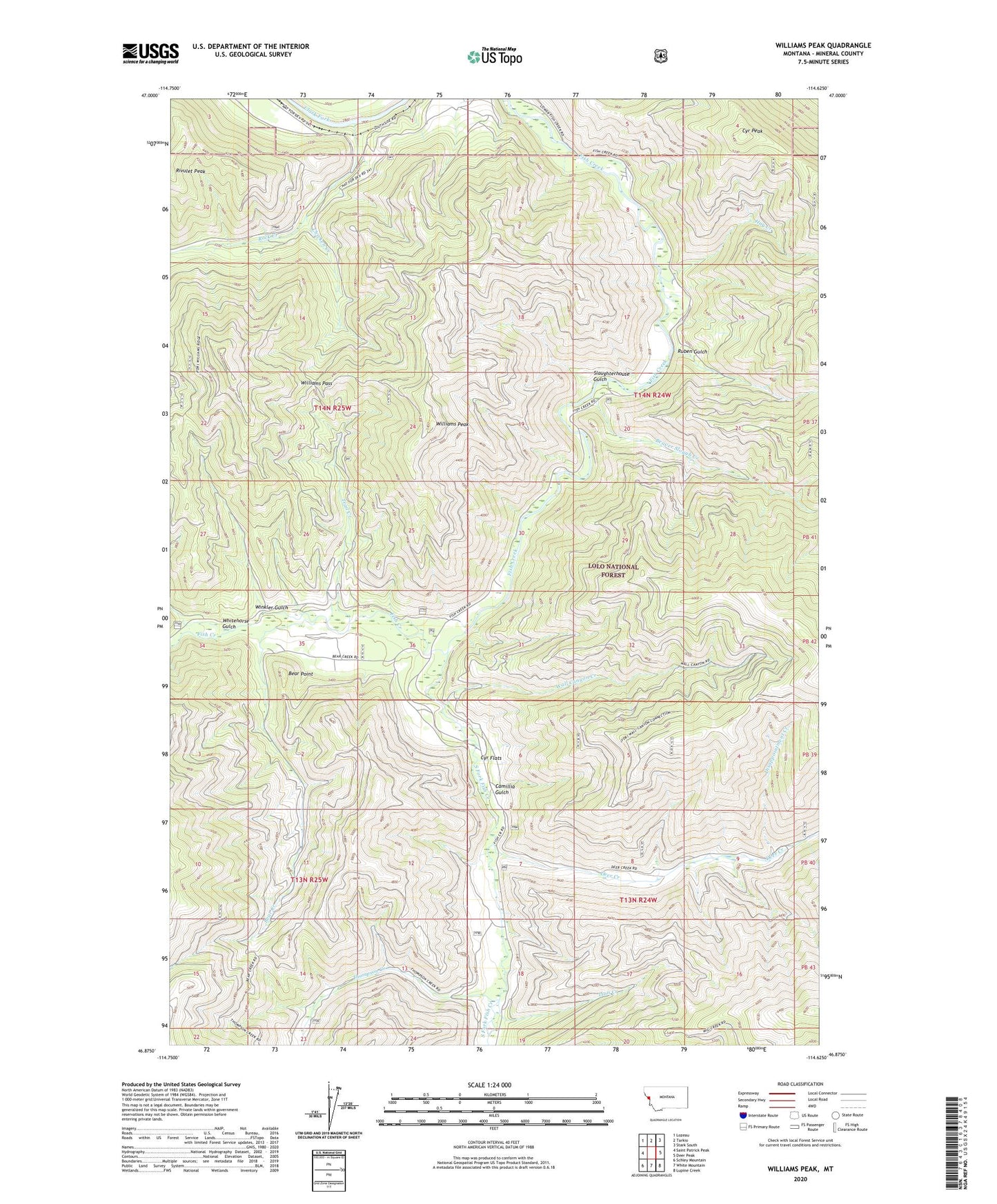
2024 topographic map quadrangle Williams Peak in the state of Montana. Scale: 1:24000. Based on the newly updated USGS 7.5' US Topo map series, this map is in the following counties: Mineral. The map contains contour data, water features, and other items you are used to seeing on USGS maps, but also has updated roads and other features. This is the next generation of topographic maps. Printed on high-quality waterproof paper with UV fade-resistant inks.
Quads adjacent to this one:
West: Saint Patrick Peak
Northwest: Lozeau
North: Tarkio
Northeast: Stark South
East: Deer Peak
Southeast: Lupine Creek
South: White Mountain
Southwest: Schley Mountain
This map covers the same area as the classic USGS quad with code o46114h6.
Contains the following named places: Alberton Division, Bear Creek, Bear Point, Beaver Slough Creek, Big Pine Campground, Big Pine Fishing Access Site, Big Pine Recreation Site, Camillia Gulch, Chicken Creek, Cyr Flats, Cyr Peak, Deer Creek, Disappointment Creek, Fish Creek Mine, Forks Fishing Access Site, Forks Recreation Site, Hay Creek, Helean Camp, Largest Pine in Montana Point of Interest, Lion Creek, Reservoir Creek, Rock Creek, Ruben Gulch, Slaughterhouse Gulch, South Fork Fish Creek, Thompson Creek, Trail Creek, Wall Canyon Creek, Whitehorse Gulch, Williams Pass, Williams Peak, Williams Peak Lookout, Winkler Gulch, ZIP Code: 59820