MyTopo
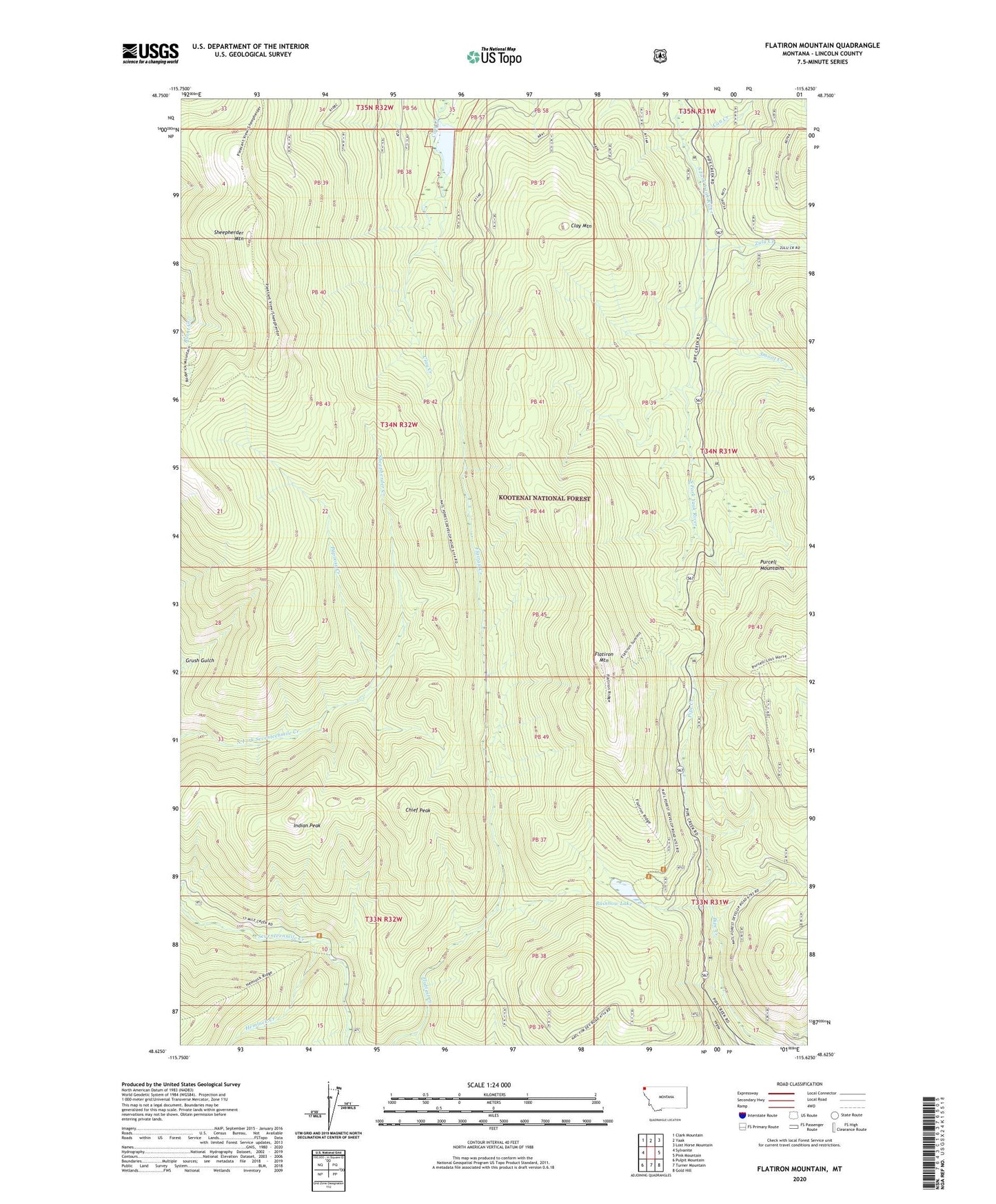
Flatiron Mountain Montana US Topo Map
Couldn't load pickup availability
Also explore the Flatiron Mountain Forest Service Topo of this same quad for updated USFS data
2024 topographic map quadrangle Flatiron Mountain in the state of Montana. Scale: 1:24000. Based on the newly updated USGS 7.5' US Topo map series, this map is in the following counties: Lincoln. The map contains contour data, water features, and other items you are used to seeing on USGS maps, but also has updated roads and other features. This is the next generation of topographic maps. Printed on high-quality waterproof paper with UV fade-resistant inks.
Quads adjacent to this one:
West: Sylvanite
Northwest: Clark Mountain
North: Yaak
Northeast: Lost Horse Mountain
East: Pink Mountain
Southeast: Gold Hill
South: Turner Mountain
Southwest: Pulpit Mountain
This map covers the same area as the classic USGS quad with code o48115f6.
Contains the following named places: Can Creek, Chief Peak, Clay Mountain, Flatiron Mountain, Hemlock Creek, Indian Peak, Lake Rene, Lake Rene Dam, Mule Creek, Papoose Creek, Rainbow Lake, Sheepherder Creek, Sheepherder Mountain, Smoot Creek, Zulu Creek