MyTopo
Glacier Colony Montana US Topo Map
Couldn't load pickup availability
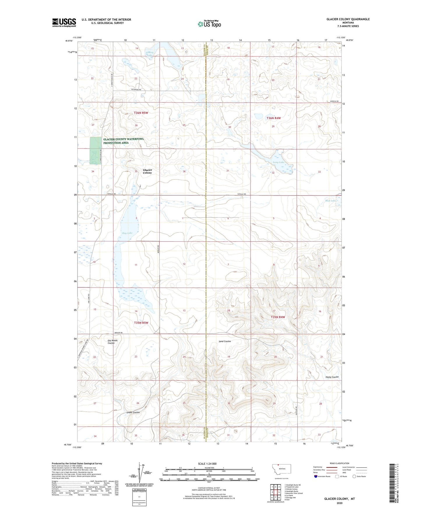
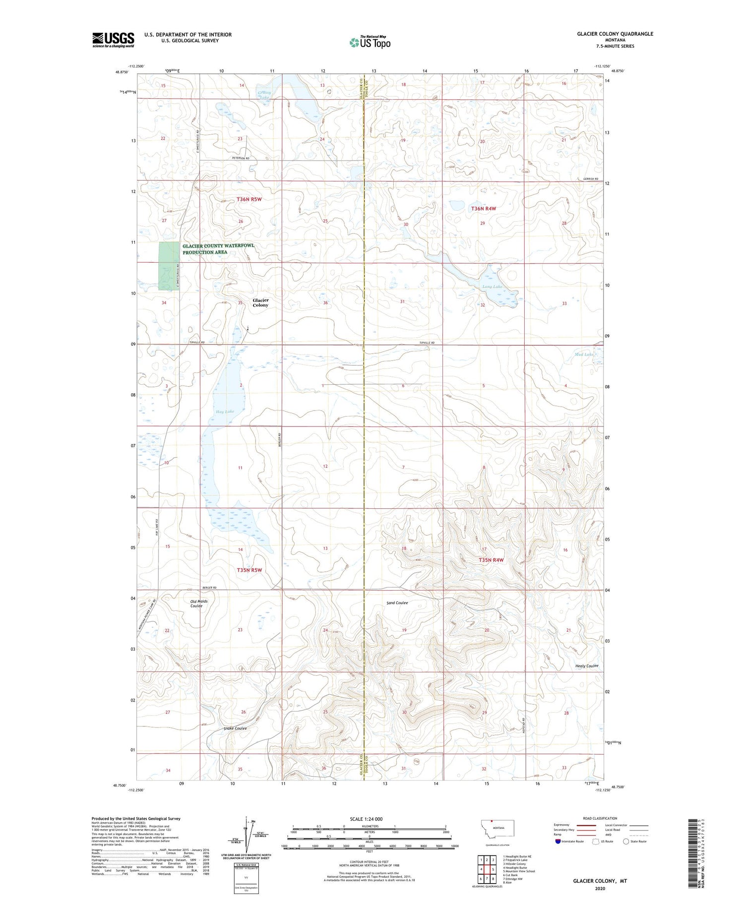
2020 topographic map quadrangle Glacier Colony in the state of Montana. Scale: 1:24000. Based on the newly updated USGS 7.5' US Topo map series, this map is in the following counties: Toole, Glacier. The map contains contour data, water features, and other items you are used to seeing on USGS maps, but also has updated roads and other features. This is the next generation of topographic maps. Printed on high-quality waterproof paper with UV fade-resistant inks.
Quads adjacent to this one:
West: Headlight Butte
Northwest: Headlight Butte NE
North: Fitzpatrick Lake
Northeast: Hillside Colony
East: Mountain View School
Southeast: Aloe
South: Ethridge NW
Southwest: Cut Bank
Contains the following named places: 35N05W01CC__01 Well, 35N05W02AA__01 Well, 35N05W12CC__01 Well, 35N05W15AB__01 Well, 35N05W15DC__01 Well, 35N05W23DA__01 Well, 35N05W34AB__01 Well, 36N04W21DC__01 Well, 36N04W33BB__01 Well, 36N05W23AC__01 Well, 36N05W24DA__01 Well, 36N05W26BA__01 Well, 36N05W27CD__01 Well, 36N05W35CD__01 Well, Glacier Colony, Glacier Colony Census Designated Place, Glacier County Waterfowl Production Area, Glacier Elementary School, Grassy Lake, Hay Lake, Long Lake, Long Lake Dam, Mud Lake, Snake Coulee