MyTopo
Hunters Creek Montana US Topo Map
Couldn't load pickup availability
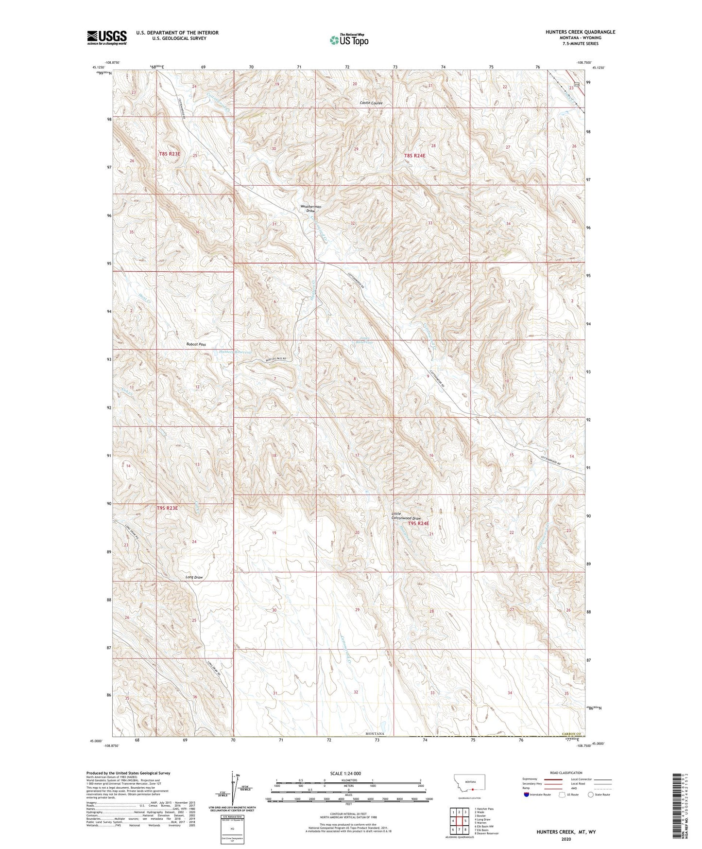
2024 topographic map quadrangle Hunters Creek in the state of Montana. Scale: 1:24000. Based on the newly updated USGS 7.5' US Topo map series, this map is in the following counties: Carbon, Park. The map contains contour data, water features, and other items you are used to seeing on USGS maps, but also has updated roads and other features. This is the next generation of topographic maps. Printed on high-quality waterproof paper with UV fade-resistant inks.
Quads adjacent to this one:
West: Long Draw
Northwest: Hatcher Pass
North: Wade
Northeast: Bowler
East: Warren
Southeast: Deaver Reservoir
South: Elk Basin
Southwest: Elk Basin NW
Contains the following named places: Bobcat Pass, Hunters Creek, Hunters Reservoir, Jones Reservoir, Lee Guard Cabin, Little Cottonwood Draw, Maki Cabin, Mud Spring Cabin, Weatherman Draw