MyTopo
Johnson Dam Montana US Topo Map
Couldn't load pickup availability
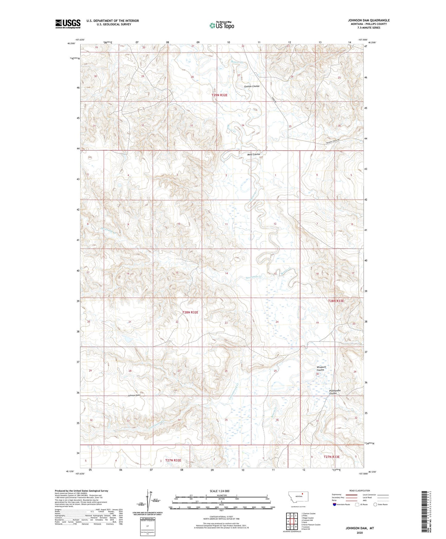
2024 topographic map quadrangle Johnson Dam in the state of Montana. Scale: 1:24000. Based on the newly updated USGS 7.5' US Topo map series, this map is in the following counties: Phillips. The map contains contour data, water features, and other items you are used to seeing on USGS maps, but also has updated roads and other features. This is the next generation of topographic maps. Printed on high-quality waterproof paper with UV fade-resistant inks.
Quads adjacent to this one:
West: Content NW
Northwest: Clanton Coulee
North: Pinks
Northeast: Regal Coulee
East: Harb
Southeast: Harb SW
South: Content
Southwest: Horse Pasture Coulee
This map covers the same area as the classic USGS quad with code o48107b5.
Contains the following named places: Buddy Holly Dam, Cottonwood Creek, Guston Coulee, Harb Post Office, Johnson Dam, Martin Number 1 Dam, Moss Coulee, Pickhandle Coulee, Sevenmile Creek, West Harb School, Windmill Coulee