MyTopo
Horse Pasture Coulee Montana US Topo Map
Couldn't load pickup availability
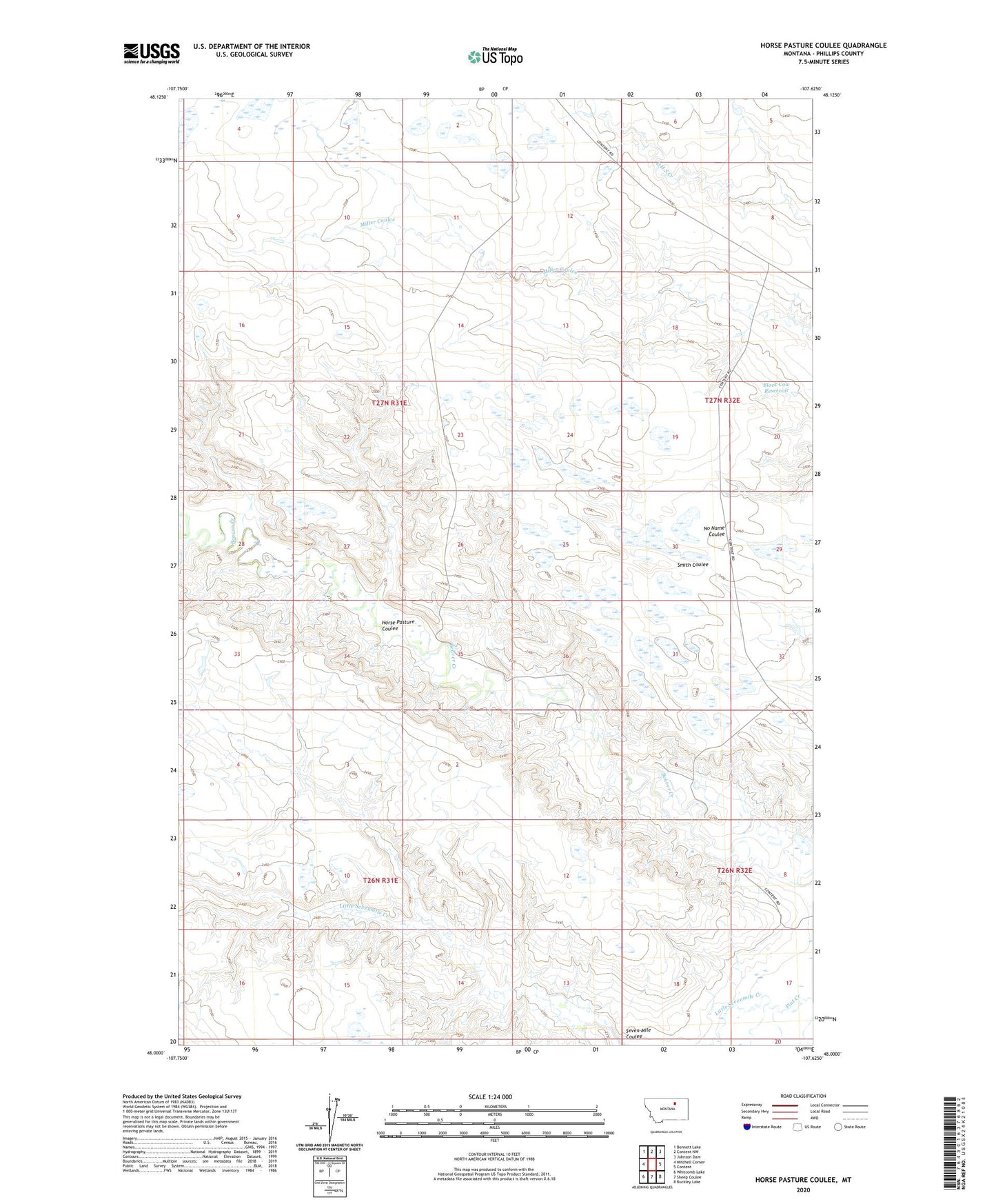
2024 topographic map quadrangle Horse Pasture Coulee in the state of Montana. Scale: 1:24000. Based on the newly updated USGS 7.5' US Topo map series, this map is in the following counties: Phillips. The map contains contour data, water features, and other items you are used to seeing on USGS maps, but also has updated roads and other features. This is the next generation of topographic maps. Printed on high-quality waterproof paper with UV fade-resistant inks.
Quads adjacent to this one:
West: Mitchell Corner
Northwest: Bennett Lake
North: Content NW
Northeast: Johnson Dam
East: Content
Southeast: Buckley Lake
South: Sheep Coulee
Southwest: Whitcomb Lake
This map covers the same area as the classic USGS quad with code o48107a6.
Contains the following named places: Black Cow Reservoir, Horse Pasture Coulee, Little Sevenmile Creek, Mercury Dam, Seven Mile Coulee