MyTopo
Pika Point Montana US Topo Map
Couldn't load pickup availability
Also explore the Pika Point Forest Service Topo of this same quad for updated USFS data
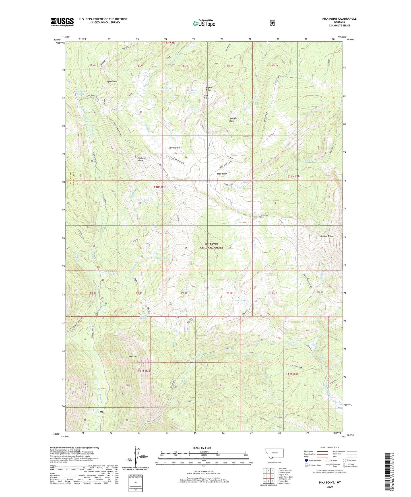
2024 topographic map quadrangle Pika Point in the state of Montana. Scale: 1:24000. Based on the newly updated USGS 7.5' US Topo map series, this map is in the following counties: Gallatin, Madison. The map contains contour data, water features, and other items you are used to seeing on USGS maps, but also has updated roads and other features. This is the next generation of topographic maps. Printed on high-quality waterproof paper with UV fade-resistant inks.
Quads adjacent to this one:
West: Hilgard Peak
Northwest: Koch Peak
North: Lincoln Mountain
Northeast: Sunshine Point
East: Upper Tepee Basin
Southeast: Mount Hebgen
South: Hebgen Dam
Southwest: Earthquake Lake
This map covers the same area as the classic USGS quad with code o44111h3.
Contains the following named places: Apex Point, Axolotl Lake, Beaver Creek Ranger Station, Boat Mountain, Carrot Basin, Cub Creek, Forest Creek, Gully Creek, Hilgard Creek, Juncus Lake, Kirkwood Trail, Lightning Lake, Little Wapiti Creek Trail, Lomna Lake, Lookout Point, Meadow Lake, Middle Fork Cabin Creek, Minnie Lake, Park Lake, Pika Point, Potamogeton Park, Rose Creek, Rose Lake, Sage Basin, Sentinel Creek, South Fork Cabin Creek, Sunlight Basin, Timber Creek, Turquoise Lake, Wapiti Creek Trail, Wapiti Ridge, West Fork Beaver Creek, Wyethia Creek