MyTopo
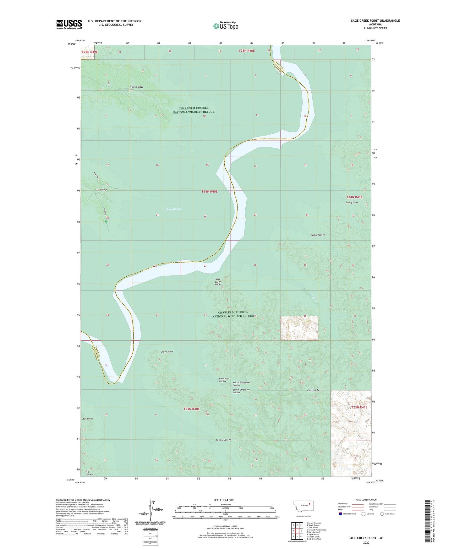
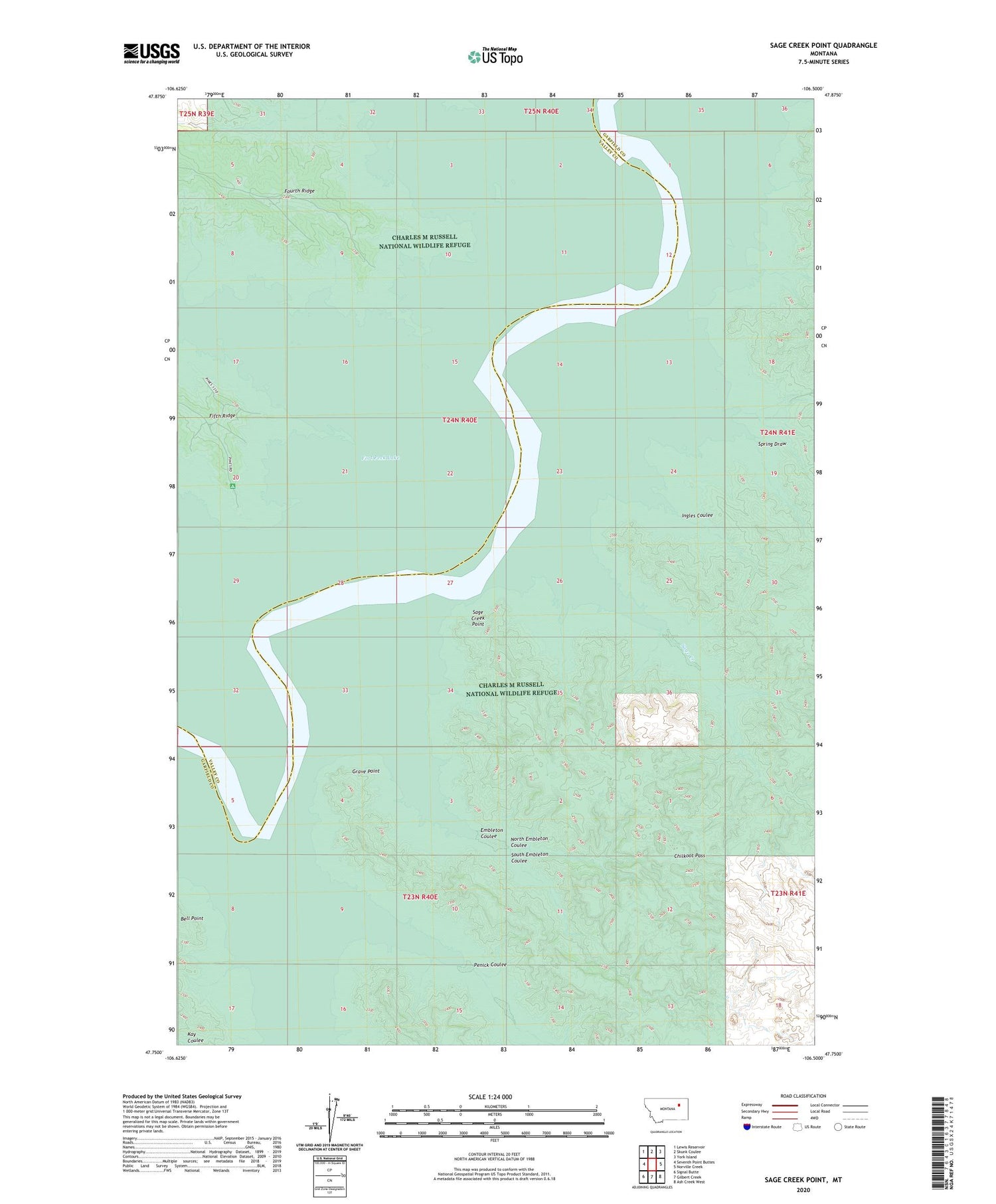
Sage Creek Point Montana US Topo Map
Couldn't load pickup availability
2020 topographic map quadrangle Sage Creek Point in the state of Montana. Scale: 1:24000. Based on the newly updated USGS 7.5' US Topo map series, this map is in the following counties: Garfield, Valley. The map contains contour data, water features, and other items you are used to seeing on USGS maps, but also has updated roads and other features. This is the next generation of topographic maps. Printed on high-quality waterproof paper with UV fade-resistant inks.
Quads adjacent to this one:
West: Seventh Point Buttes
Northwest: Lewis Reservoir
North: Skunk Coulee
Northeast: York Island
East: Norville Creek
Southeast: Ash Creek West
South: Gilbert Creek
Southwest: Signal Butte
Contains the following named places: Chilkoot Pass, Don McDonald Dam, Embleton Coulee, Grave Point, Ingles Coulee, North Embleton Coulee, Penick Coulee, Sage Creek, Sage Creek Point, South Embleton Coulee, Spring Draw