MyTopo
Twin Forks Reservoir Montana US Topo Map
Couldn't load pickup availability
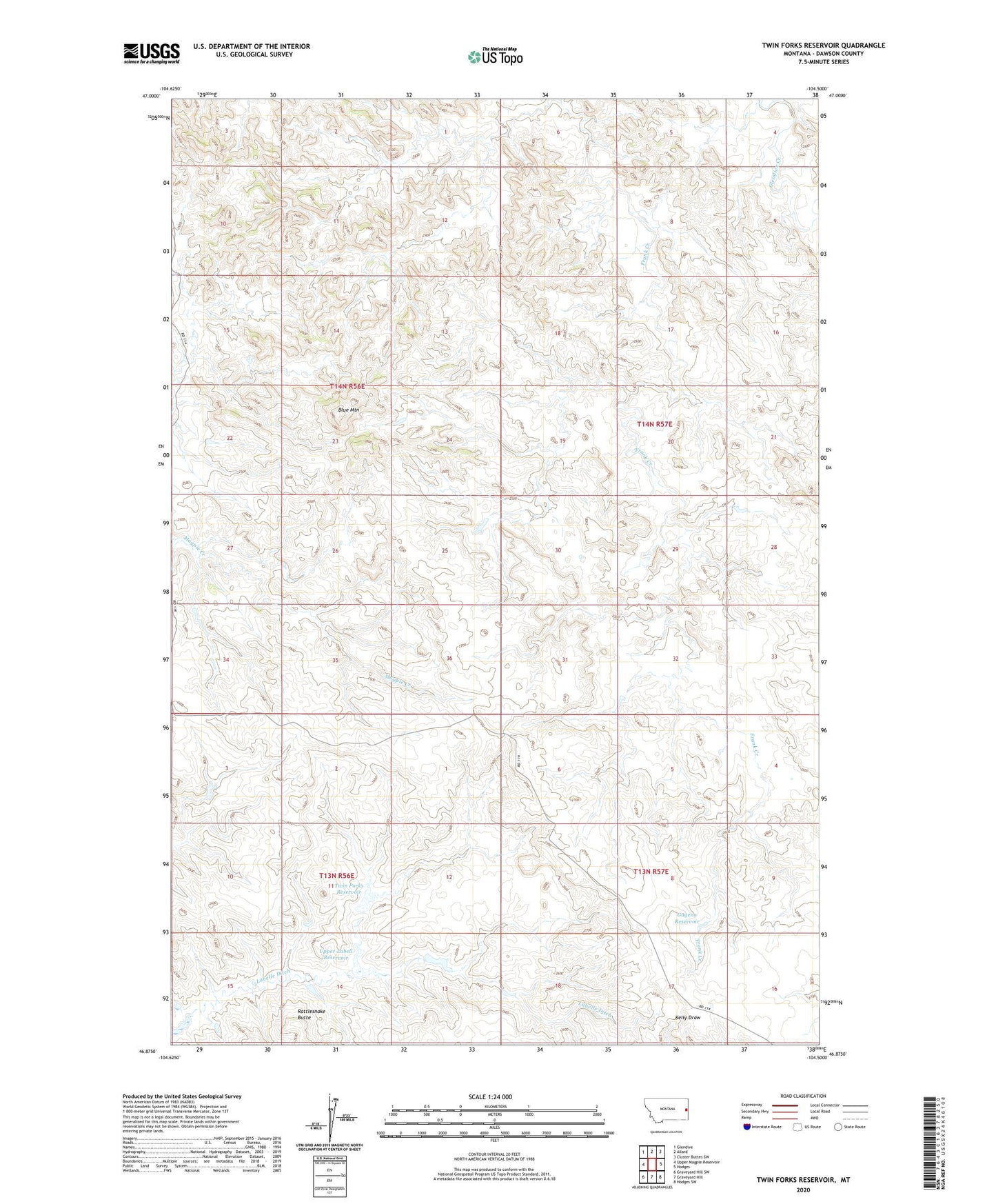
2024 topographic map quadrangle Twin Forks Reservoir in the state of Montana. Scale: 1:24000. Based on the newly updated USGS 7.5' US Topo map series, this map is in the following counties: Dawson. The map contains contour data, water features, and other items you are used to seeing on USGS maps, but also has updated roads and other features. This is the next generation of topographic maps. Printed on high-quality waterproof paper with UV fade-resistant inks.
Quads adjacent to this one:
West: Upper Magpie Reservoir
Northwest: Glendive
North: Allard
Northeast: Cluster Buttes SW
East: Hodges
Southeast: Hodges SW
South: Graveyard Hill
Southwest: Graveyard Hill SW
This map covers the same area as the classic USGS quad with code o46104h5.
Contains the following named places: 13N56E01BDAD01 Well, 13N56E02BBDD01 Well, 13N57E18CDAA01 Well, 14N56E11CDCB01 Well, 14N56E34BBAD01 Well, 14N57E21AC__01 Well, 14N57E28BBBD01 Well, 14N57E32CDBD01 Well, 14N57E33BDCC01 Well, Blue Mountain, Bryan Plains School, Dwarf Dam, Gagena Reservoir, Lobella Dam, Lost Coulee Dam, Twin Forks Dam, Twin Forks Reservoir, Upper Labell Reservoir