MyTopo
Graveyard Hill Montana US Topo Map
Couldn't load pickup availability
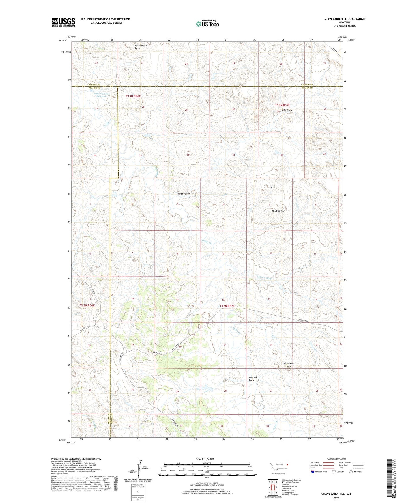
2024 topographic map quadrangle Graveyard Hill in the state of Montana. Scale: 1:24000. Based on the newly updated USGS 7.5' US Topo map series, this map is in the following counties: Wibaux, Prairie, Dawson. The map contains contour data, water features, and other items you are used to seeing on USGS maps, but also has updated roads and other features. This is the next generation of topographic maps. Printed on high-quality waterproof paper with UV fade-resistant inks.
Quads adjacent to this one:
West: Graveyard Hill SW
Northwest: Upper Magpie Reservoir
North: Twin Forks Reservoir
Northeast: Hodges
East: Hodges SW
Southeast: Rocking Chair Butte
South: Ayer Spring NE
Southwest: Dorothy Draw
This map covers the same area as the classic USGS quad with code o46104g5.
Contains the following named places: 01S58E09ABB_01 Well, 12N56E24CABD01 Well, 12N56E25CBDB01 Well, 13N56E27BC__01 Well, 13N56E27BC__02 Well, 13N57E21CA__01 Well, Gibson Ditch, Graveyard Hill, JJ Blakenship Number 3 Dam, Kelly Draw, Little Garrison Reservoir, Little Gertison Dam, Maggie Draw, Minutemen Dam, Mount McKinley, Pine Hill, Pine Hill Draw, Rattlesnake Butte