MyTopo
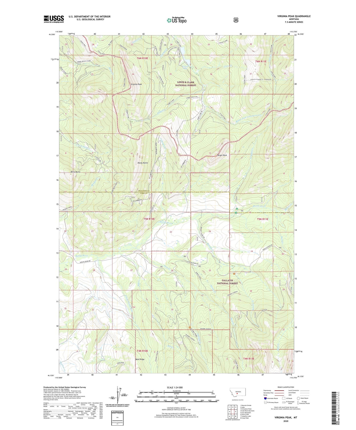
Virginia Peak Montana US Topo Map
Couldn't load pickup availability
Also explore the Virginia Peak Forest Service Topo of this same quad for updated USFS data
2024 topographic map quadrangle Virginia Peak in the state of Montana. Scale: 1:24000. Based on the newly updated USGS 7.5' US Topo map series, this map is in the following counties: Meagher, Park. The map contains contour data, water features, and other items you are used to seeing on USGS maps, but also has updated roads and other features. This is the next generation of topographic maps. Printed on high-quality waterproof paper with UV fade-resistant inks.
Quads adjacent to this one:
West: Scab Rock Mountain
Northwest: Rimrock Divide
North: Lebo
Northeast: Cinnamon Peak
East: Loco Mountain
Southeast: Crazy Peak
South: Campfire Lake
Southwest: Lena Creek
This map covers the same area as the classic USGS quad with code o46110b4.
Contains the following named places: Bennett Creek, Bennett Creek Guard Station, Billie Butte, Buck Creek, Crandall Creek, Crow Creek, Davey Butte, Deep Creek, Dugout Creek, Eagle Creek, Forest Lake, Lodgepole Creek, Mill Creek, Serrett Creek, Shields River Recreation Site, South Fork Shields River, Sunlight Creek, Target Rock, Virginia Creek, Virginia Peak