MyTopo
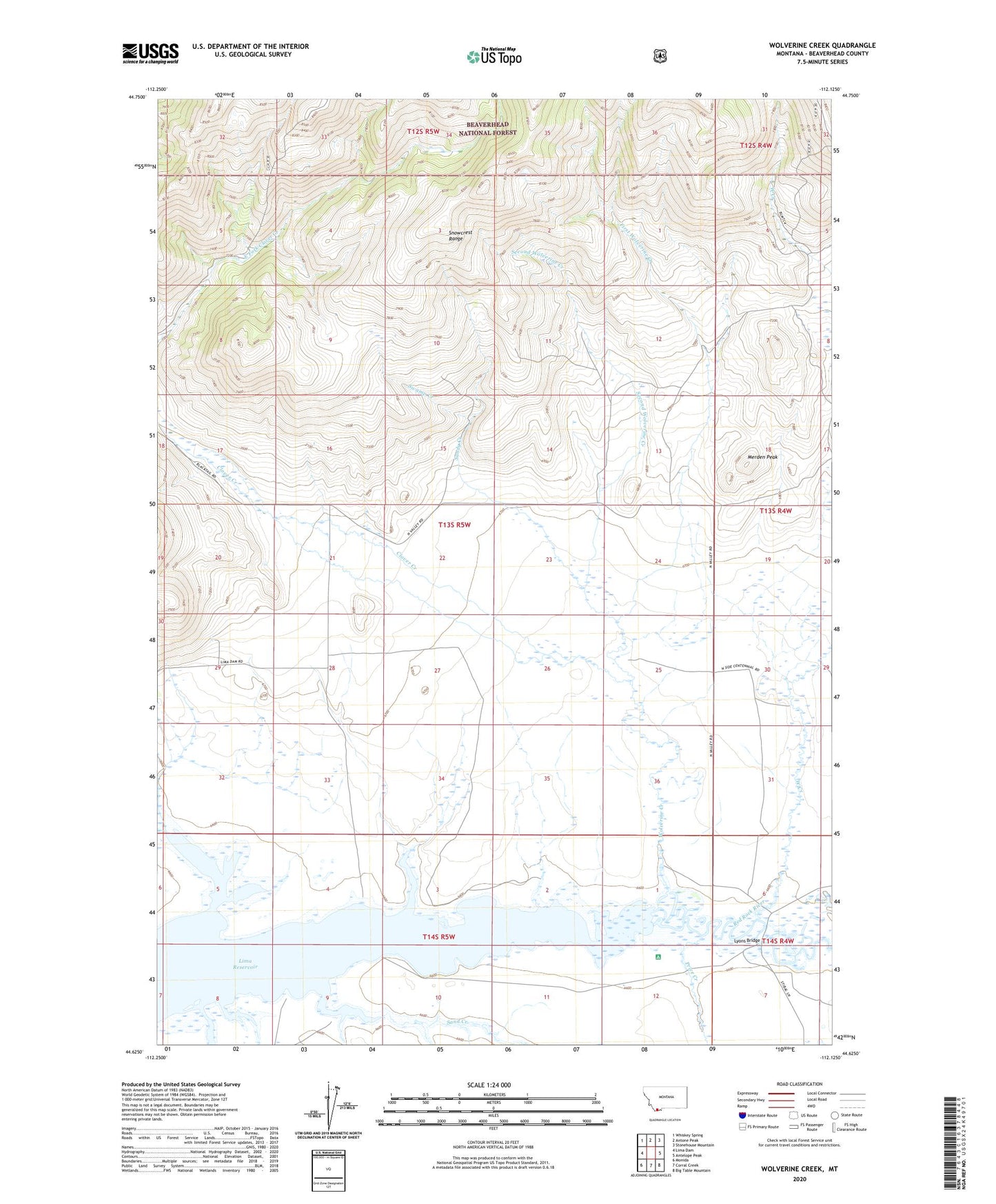
Wolverine Creek Montana US Topo Map
Couldn't load pickup availability
Also explore the Wolverine Creek Forest Service Topo of this same quad for updated USFS data
2024 topographic map quadrangle Wolverine Creek in the state of Montana. Scale: 1:24000. Based on the newly updated USGS 7.5' US Topo map series, this map is in the following counties: Beaverhead. The map contains contour data, water features, and other items you are used to seeing on USGS maps, but also has updated roads and other features. This is the next generation of topographic maps. Printed on high-quality waterproof paper with UV fade-resistant inks.
Quads adjacent to this one:
West: Lima Dam
Northwest: Whiskey Spring
North: Antone Peak
Northeast: Stonehouse Mountain
East: Antelope Peak
Southeast: Big Table Mountain
South: Corral Creek
Southwest: Monida
This map covers the same area as the classic USGS quad with code o44112f2.
Contains the following named places: Clover Creek, First Wolverine Creek, Lyons Bridge, Merden Peak, Price Creek, Sand Creek, Sandy Creek, Second Wolverine Creek, Shineberger Creek, Swamp Creek, West Creek, Wolverine Creek, ZIP Code: 59739